

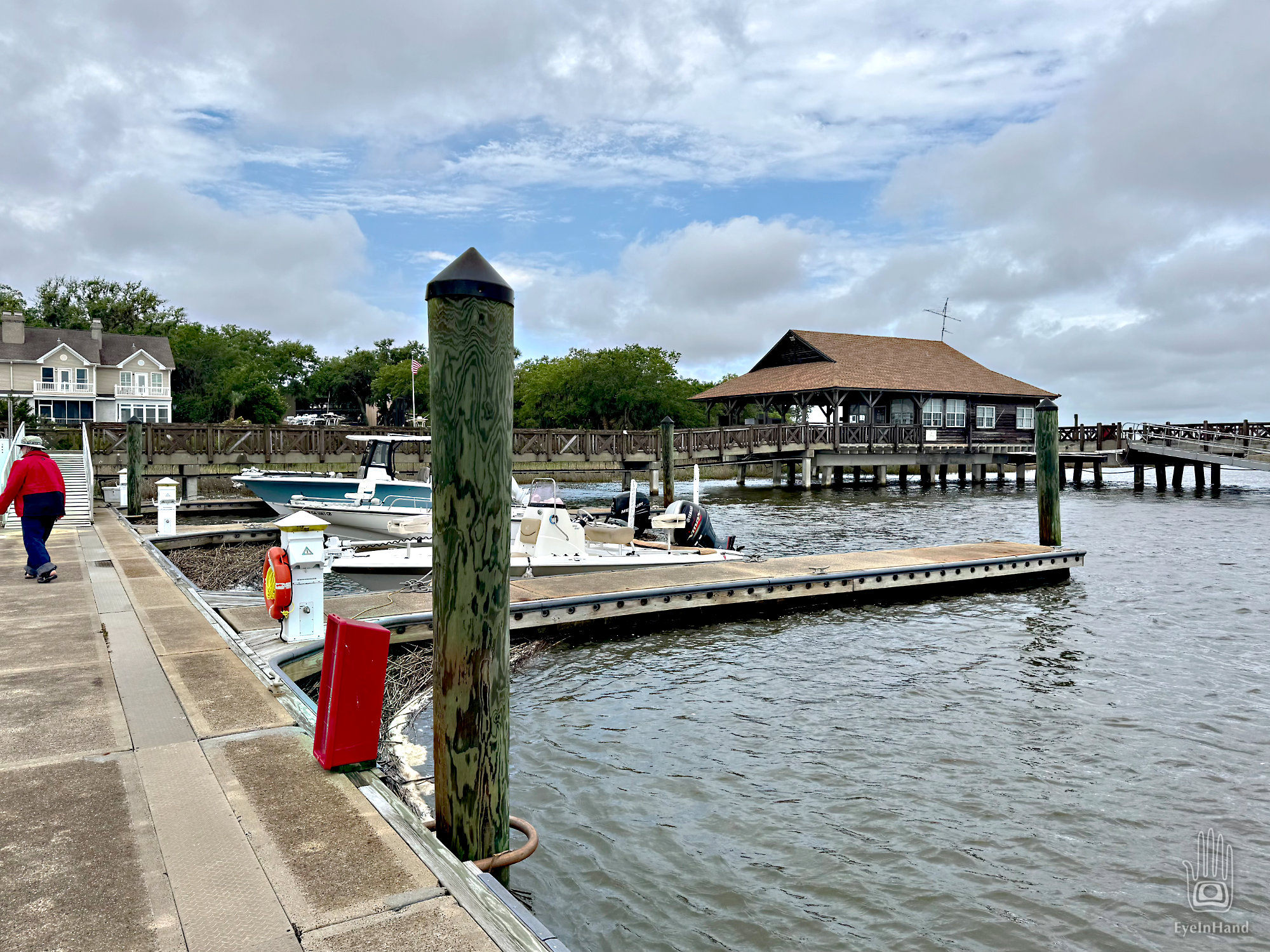
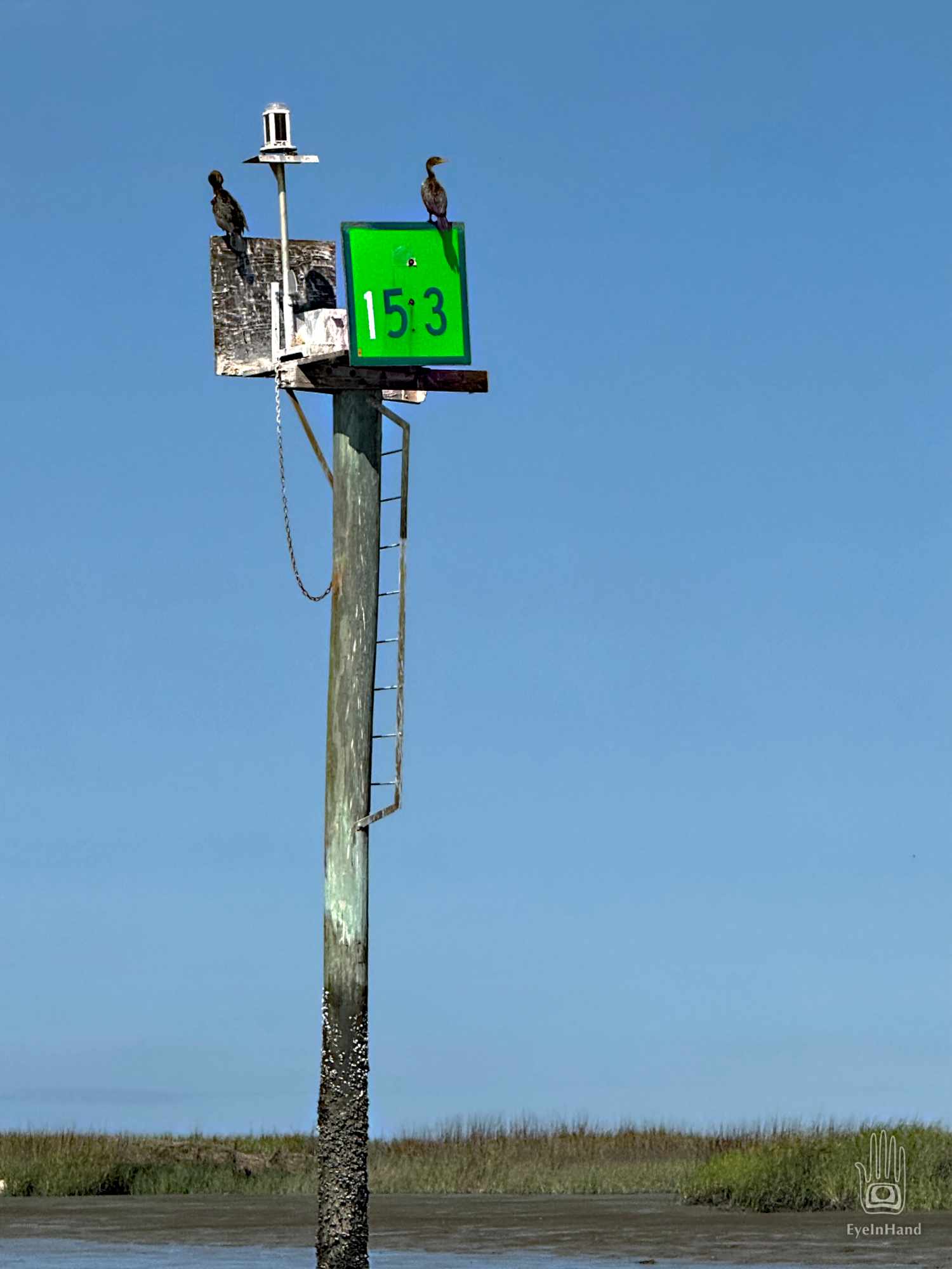
This marina is the smallest yet, more like a trading post stuck out here on the tip of St. Simons Island. But we can get diesel and ice, use the facilities. Get some local knowledge from the clerk. And a weather report.
As we fuel up, a young entrepreneur pulls up in a skiff. He’s a fellow son of the South. I recognize him immediately. He swaggers up, all animated in camo and a Skoal cap, and launches into conversation without a greeting, just “Hey, you guys know sailboats, right?” He’s local. I speak his language.
He has noticed all the wrecks scattered around his watery neighborhood. They’re like Easter Eggs dropped in the tall grass of his lawn. Though he’s not familiar with these seafaring craft from distant lands, he perceives (correctly) they represent significant reservoirs of capital. Seems a shame for them to go to waste, just abandoned by their owners, folks who can afford insurance policies, from northern corporations with no interest in retrieving their investment.
“Come to think of it, nobody owns them! The captains sold their boats to insurance companies, and got paid! So they don’t own them anymore! The insurance companies don’t want boats, they just pay good money to leave them out there and rot! Maybe what they’re REALLY buying is Captains, not boats! That would explain it, right?. Think about it!”
No doubt descended from a long line of wreckers, he is familiar with maritime laws regarding salvage rights. He asks my advice: if one were to, hypothetically, remove items from said wrecks, which items would have the most value?
I suggest wenches. They should still work and be easier to remove than electronics like radar, which are more valuable maybe, but more easily damaged by the elements. He thanks me profusely. I can see him calculating his fortune. He gives his outboard mule one lash of the starter whip and roars off at full gallop.
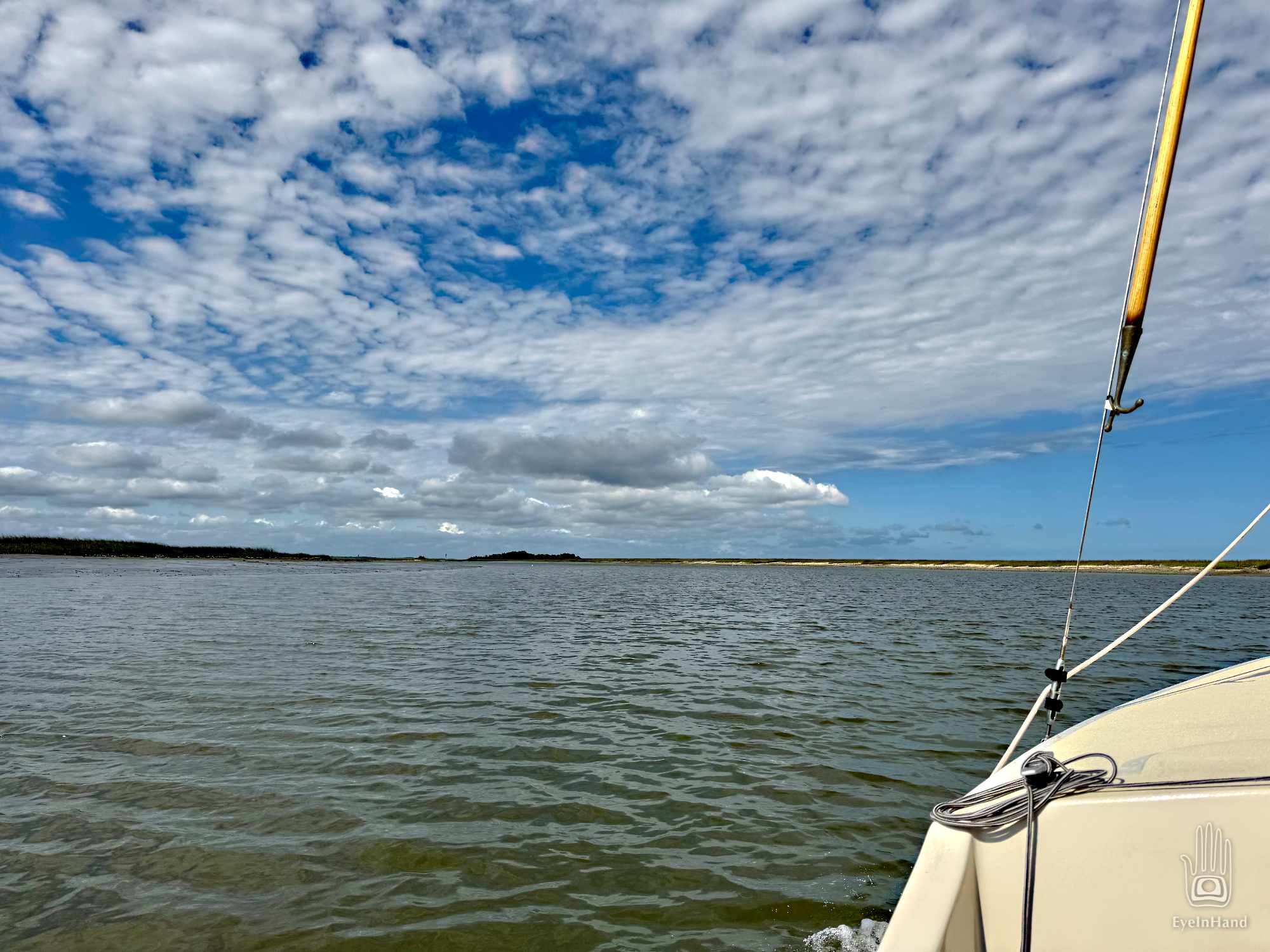
The leading edge of the front has passed. The worst is over, but behind it there’s still a lot of unstable air. Gusts come from one way, then another. We’ll have a long day of that before clear skies arrive. And we have one of the longest legs ahead of us – it’s forty miles to the next anchorage.
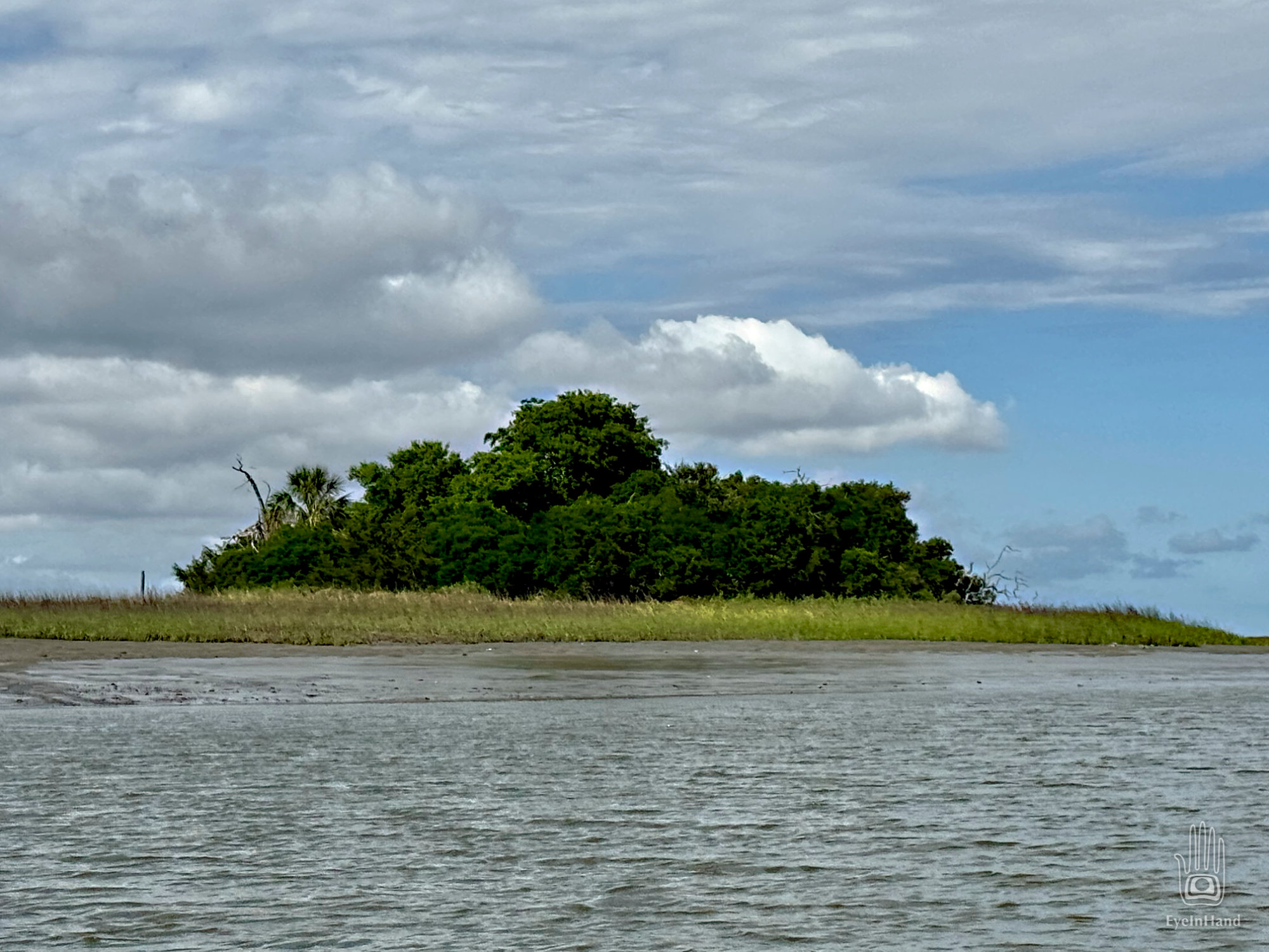
We backtrack out of Hampton Creek, then continue north across Altamaha Sound, up Doboy Sound, along Sapelo Island, across Sapelo Sound, into Wahoo River along St. Catherines Island.
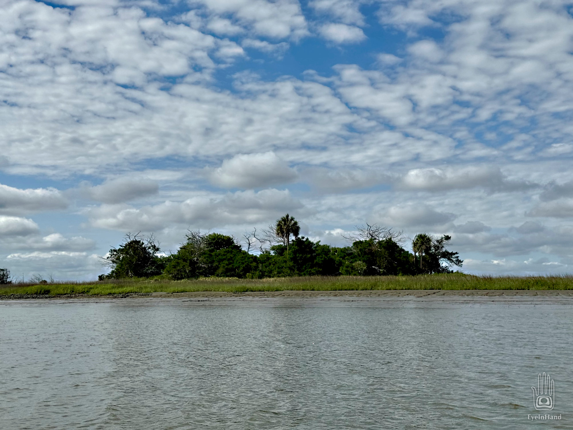
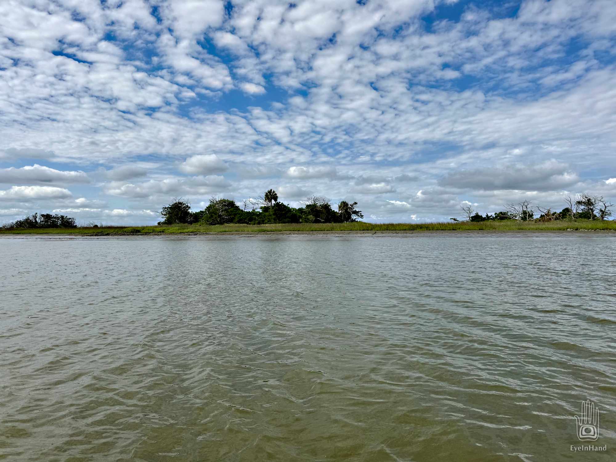
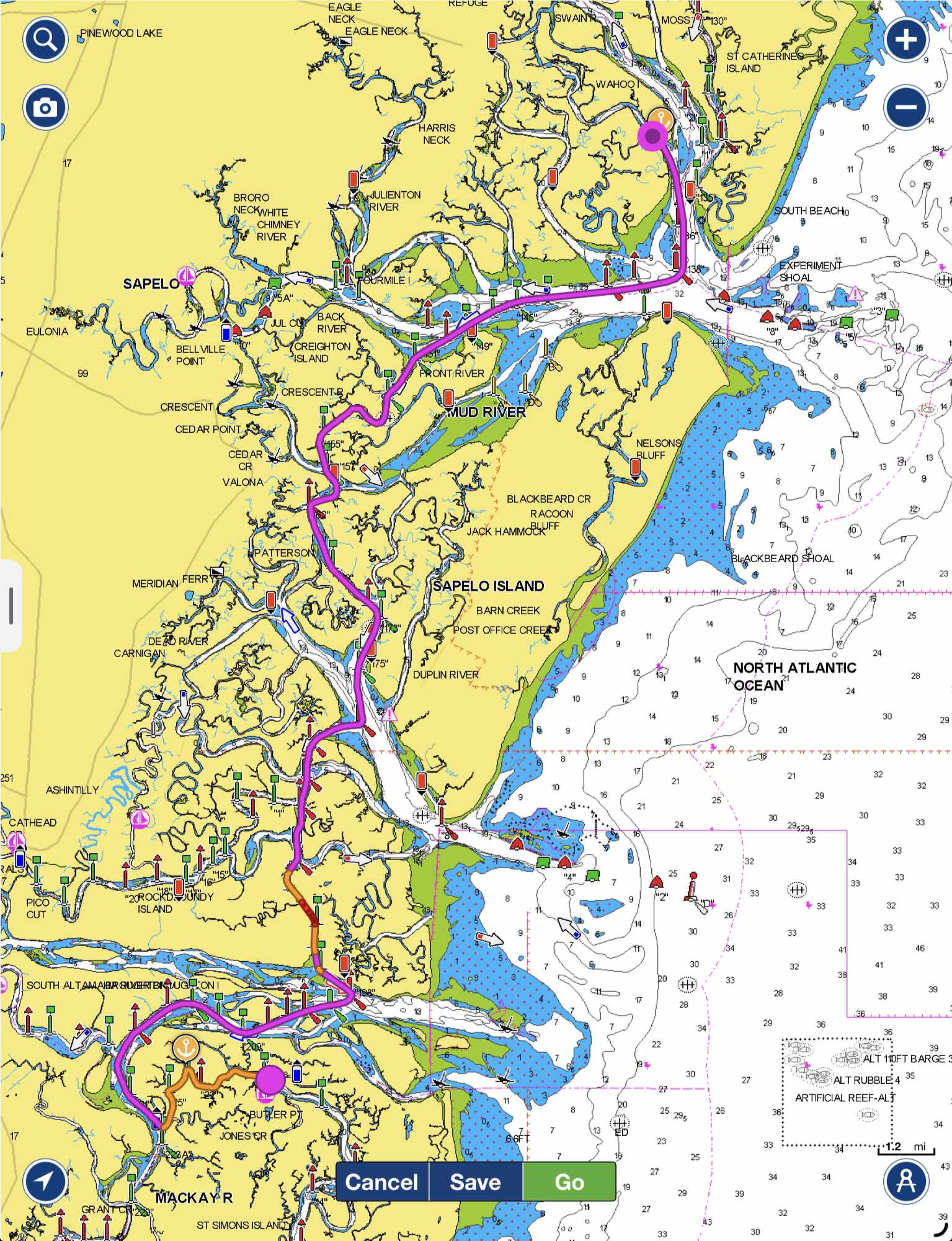
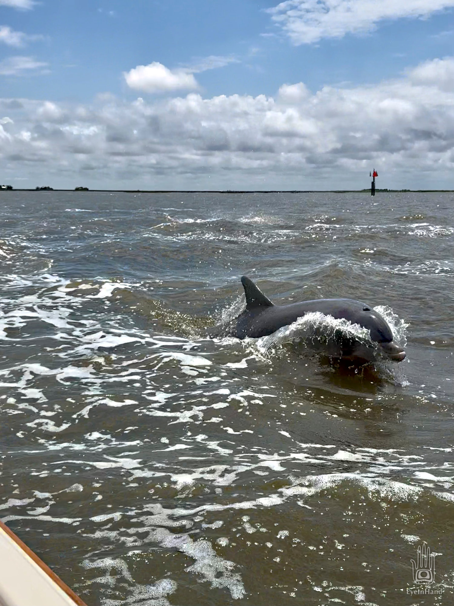
This is beautiful, unspoiled country. All of it is undeveloped, and much of it is wildlife refuges. In Doboy Sound a pod of dolphins escort us, a few rustic fish camps are the only sign of civilization, scattered on hammocks in the marsh. A shrimp boat seesaws in rollers coming in from the Atlantic.
Sapelo Island is 97% public undeveloped land, including the mansion formerly owned by R.J. Reynolds, the tobacco magnate. There’s no bridge to the island. The last 3% is the Gullah community of Hog Hammock, grandfathered in to preserve the cultural heritage. But a few inheritors in the community sold out, and this exchange of private ownership made a crack under the tent for the camels of high-end developers to stick their noses through. I won’t go into the details, but it’s an old story, rife with all the corruption and backroom dealings you would expect. Legal disputes are pending.
St. Catherines Island, a former plantation, is ten miles long. It also has no bridge, and has remained completely uninhabited for well over a century. When the Sea Islands Hurricane of 1893 struck the coast, the ocean swept over the whole island. All the buildings were destroyed. Only one person on the island survived. No one has lived there since, and it’s now fully owned by a non-profit foundation dedicated to keeping it that way.
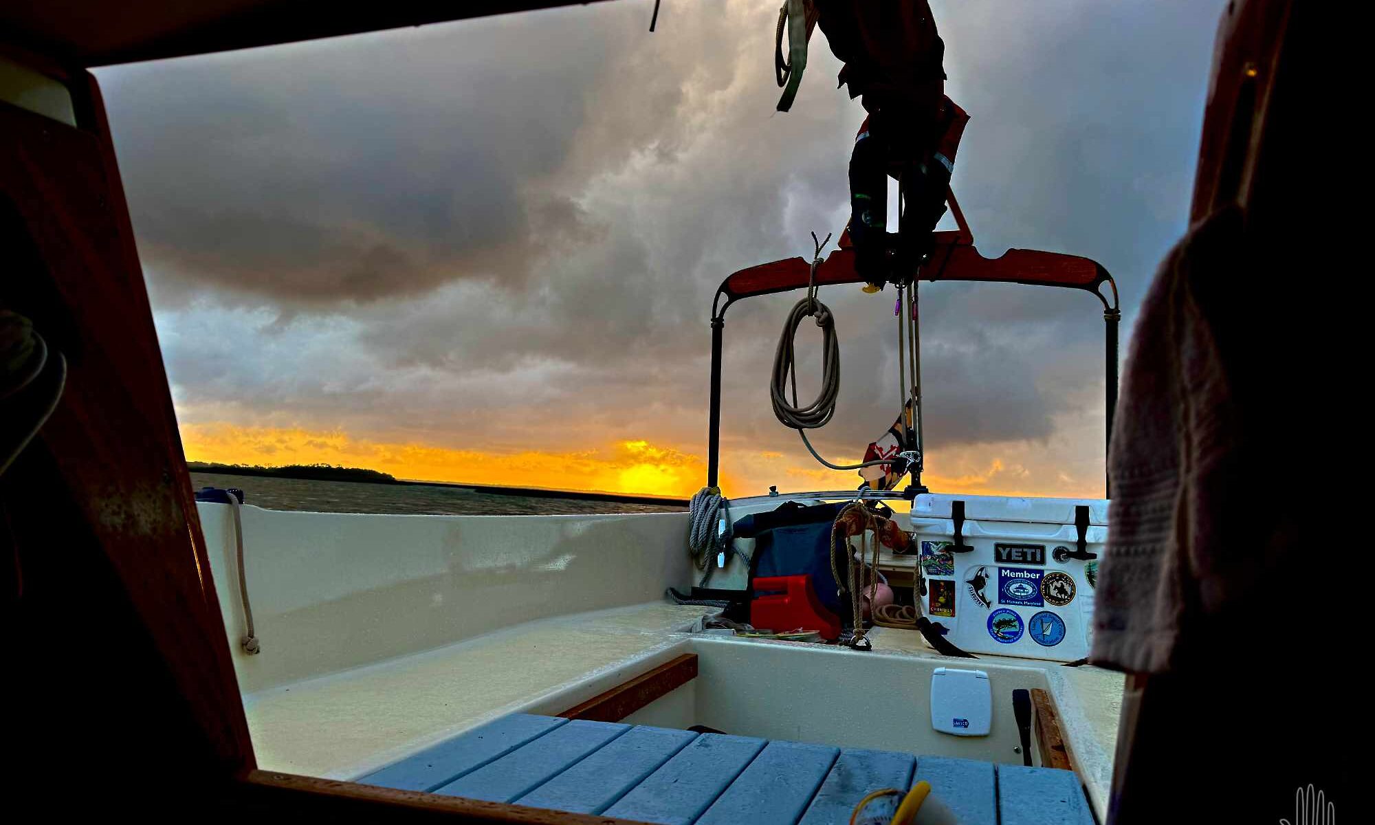
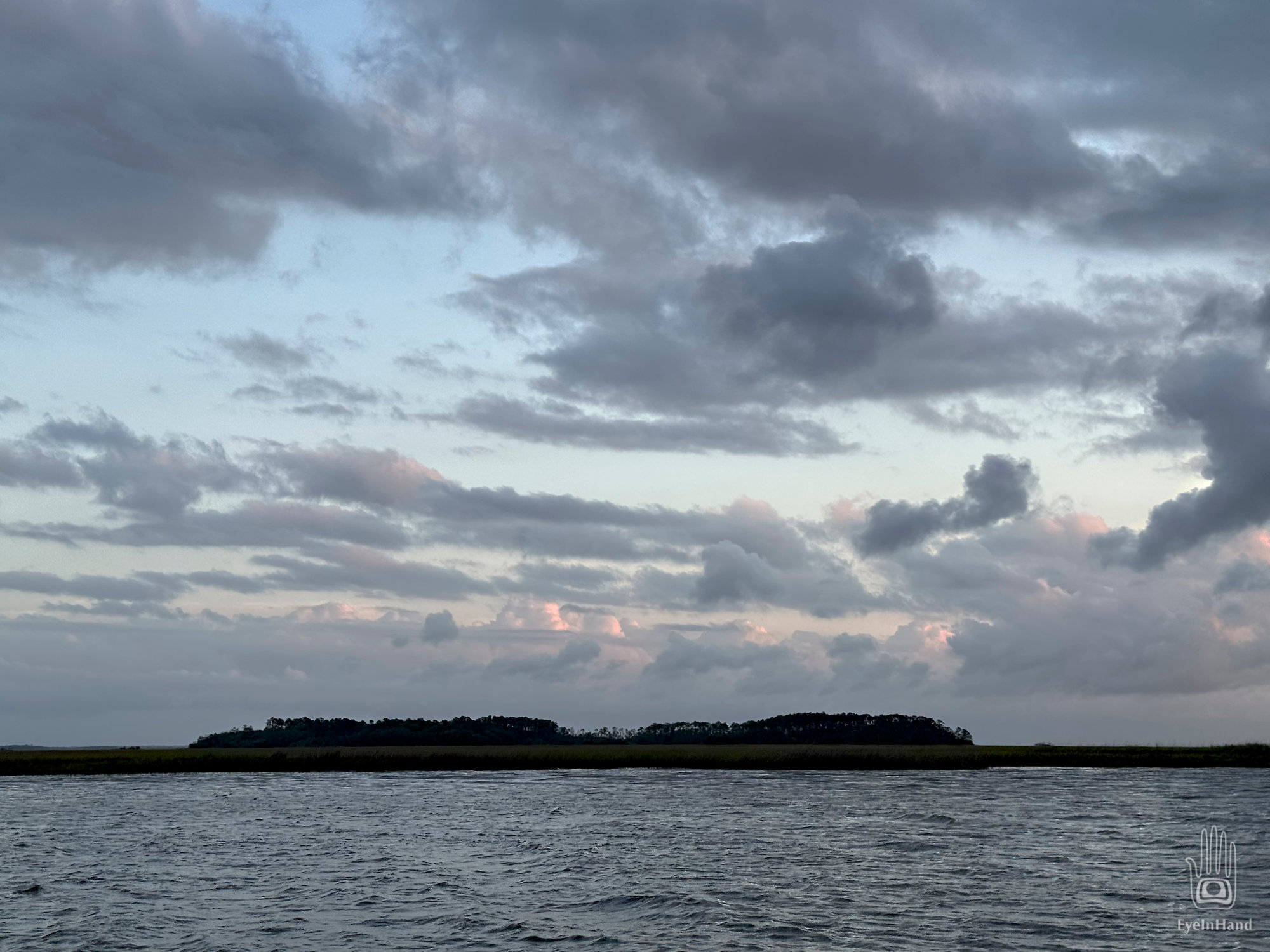
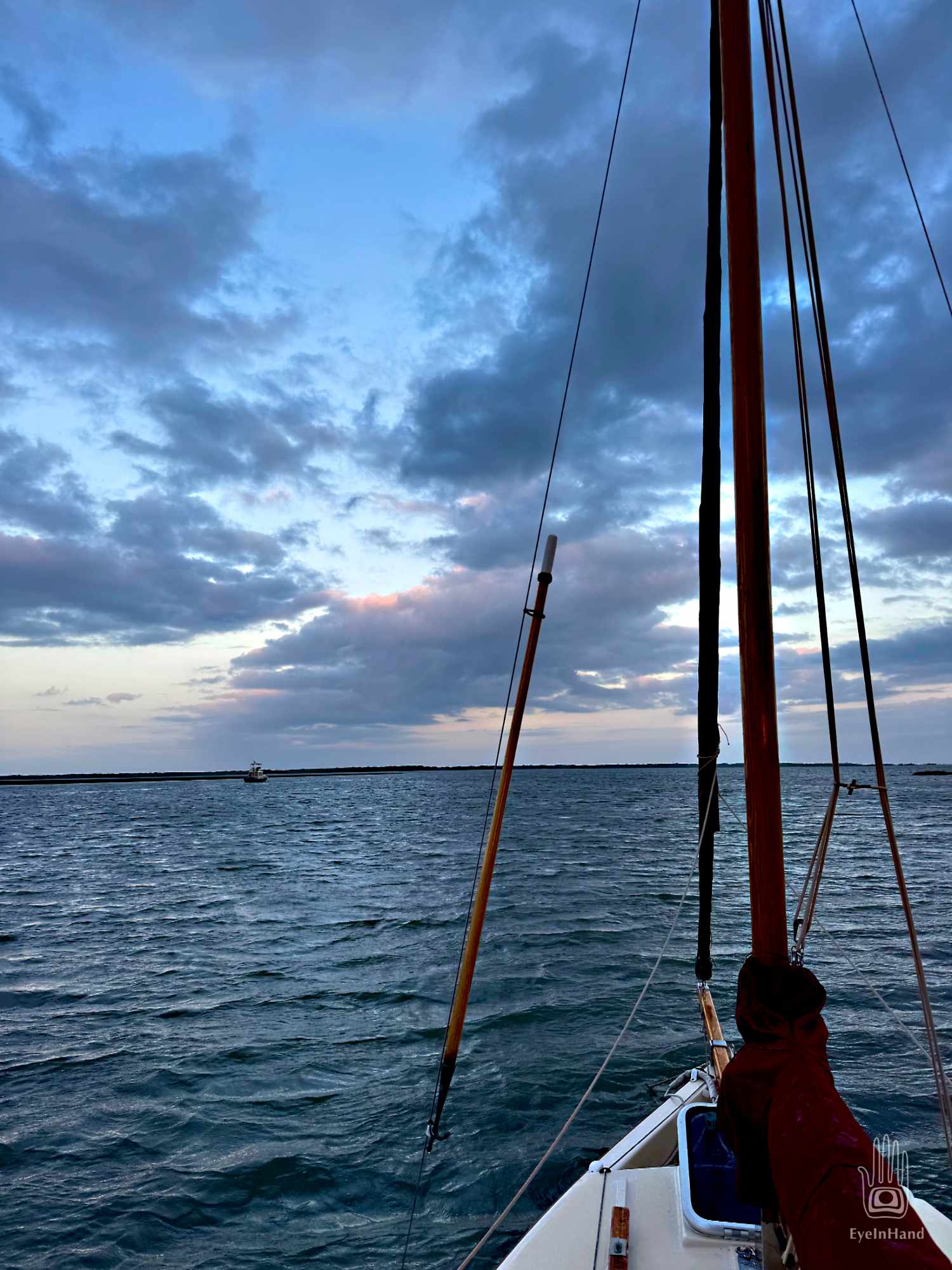
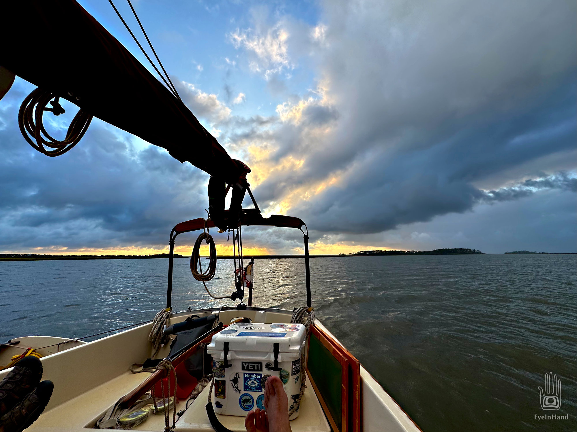
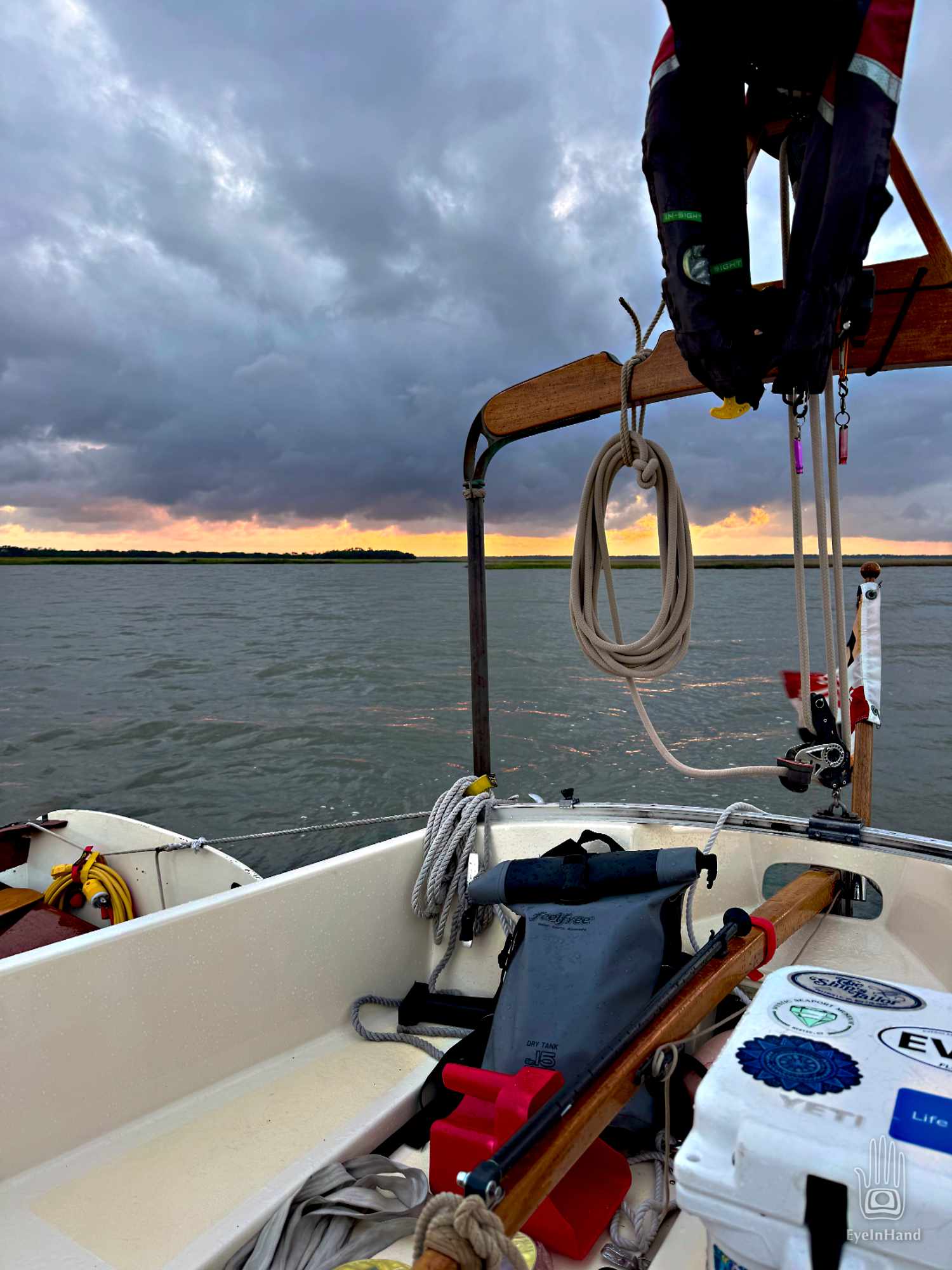
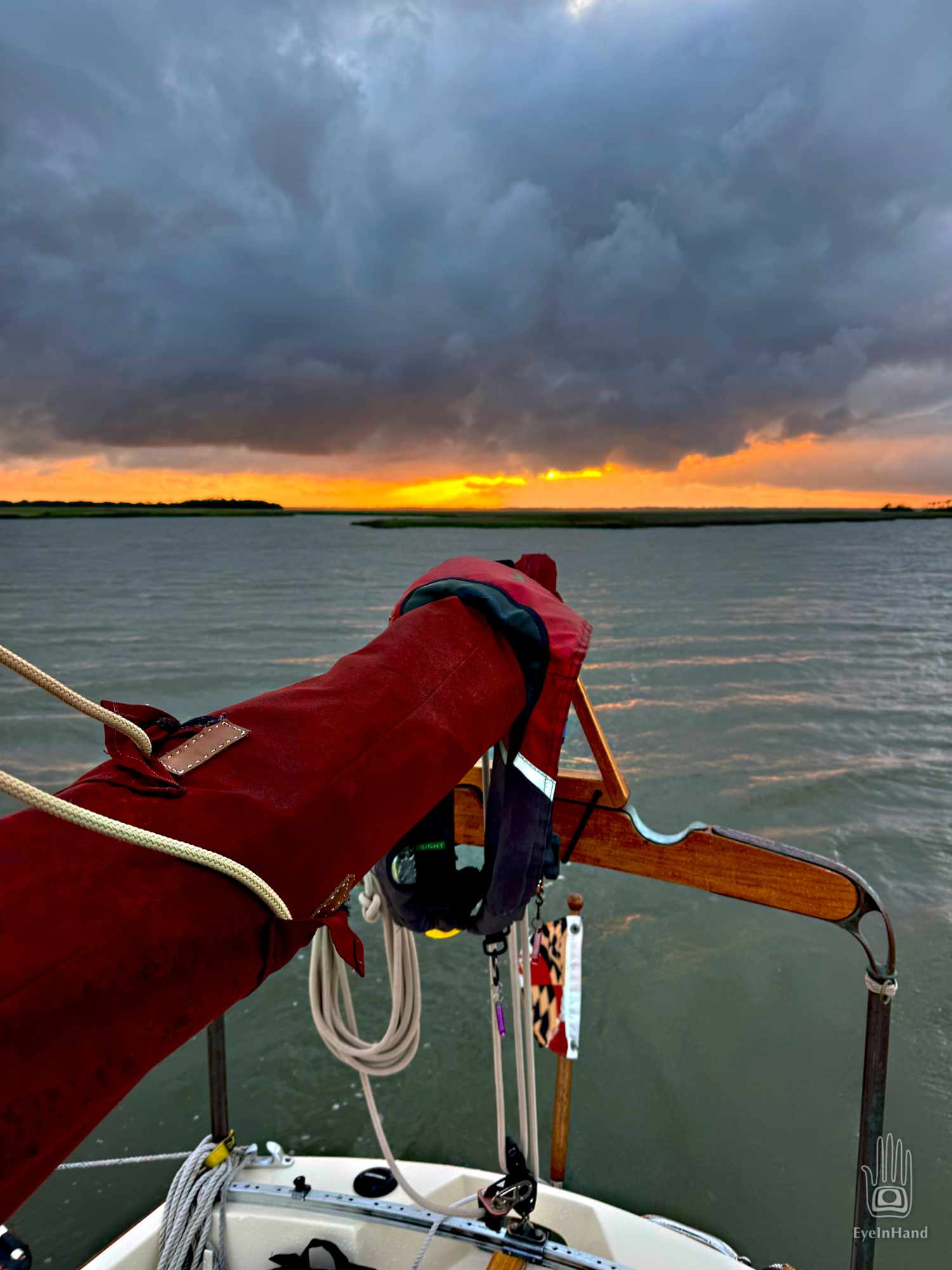
The sun is setting when we pull into Wahoo River. A trawler is already there, one we’ve passed a few times since St. Augustine. They recognize us and wave. We go a short way further up the river. The mouth opens to the southwest, toward the sound and the Atlantic. We can see all the way out, but it feels snug. It’s deep with a hard bottom.
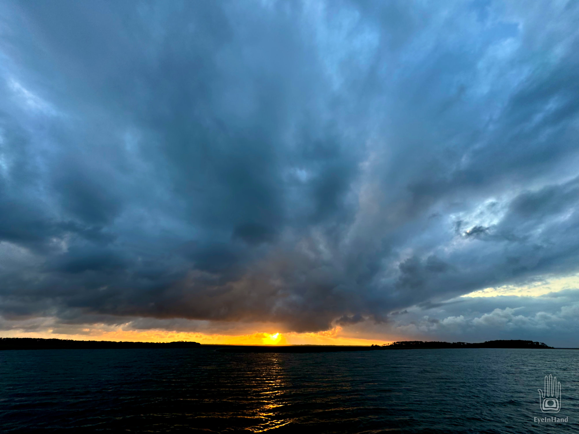
Blue storm clouds clot the sky, rushing west. The setting sun lights them up with crimson before it sets. Just beautiful.

Late that night, again we are roused by a storm. The boat rocks broadside to steep waves. It doesn’t feel good. The boat is canted over and rocking hard. I wake Doug from a sound sleep. We crawl out the hatch and see a gale is blowing straight into the mouth, pushing waves in from the Atlantic. Driven by the wind, they charge into the strong outgoing tide and pile up in steep chop. The tide and wind and waves are all fighting over the boat. I see the trawler lights come on. They are awake, too, having the same unpleasantness. They anchor up and motor a mile further upriver around the corner where there’s more cover.
It’s very dark, and hard to make sense of what’s going on. The wind is fierce and swings us sideways, but the tide is rushing out and the boat is straining at the anchor rode. Alarming enough, but even in the dark, something doesn’t look right. I ask Doug if he thinks we’re in a different place than we anchored, and he sees we’ve moved, too. The pounding of the waves and the force of the tide are lifting the anchor and sending us out toward the sound in steady hops. We’ll have to do something or we’ll get swept out to sea.
We decide against moving the boat in the dark in this chaos. The tide is running faster than we can motor. The best option seems to let out more anchor line, lots more, and hope that’s enough for it to hold.
I go forward on all fours while Doug starts the engine. The force of the tide is so strong I can’t uncleat the anchor line. I have to go back and shout to explain he’ll have to gun the engine to give me some slack. He puts a flashlight on me so he can see what’s happening. I get the line free and signal for him to ease off, then I let out another 60 feet of line as the boat drifts back, then cleat it off. He puts the engine in neutral and we wait.
When the line snaps taught, we watch our position on the GPS and see we’re still moving. I go forward, same drill, and let out more line. This time it looks like the anchor is holding. The only concern now is there’s so much scope we could swing into the shore if the wind and tide conspire to push us that way. Consulting the tide chart, it looks like it won’t go slack until after dawn. At least it’s a soft bank. This will have to do.
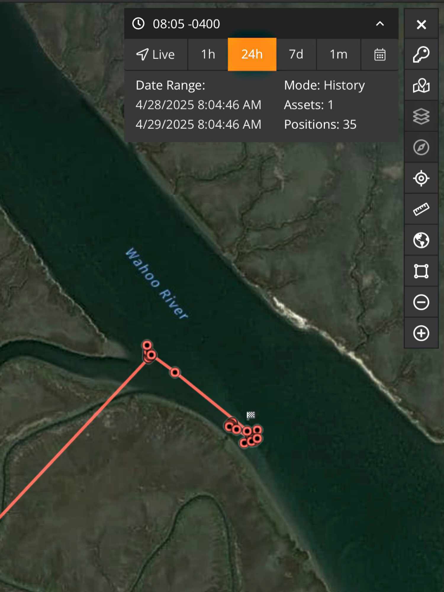
All good in the morning. I pull up the track log and see how far we dragged. We ended up almost a quarter of a mile from where we started. Then it becomes clear how we miscalculated. Though the narrow Wahoo River looks small and placid, upwards of 6,000 acres of wetlands drain through it. Right now, the tides are running even higher than normal – a full 10 foot range. That’s a crap-ton of water moving through his little gut, to use the vernacular.
No wonder.
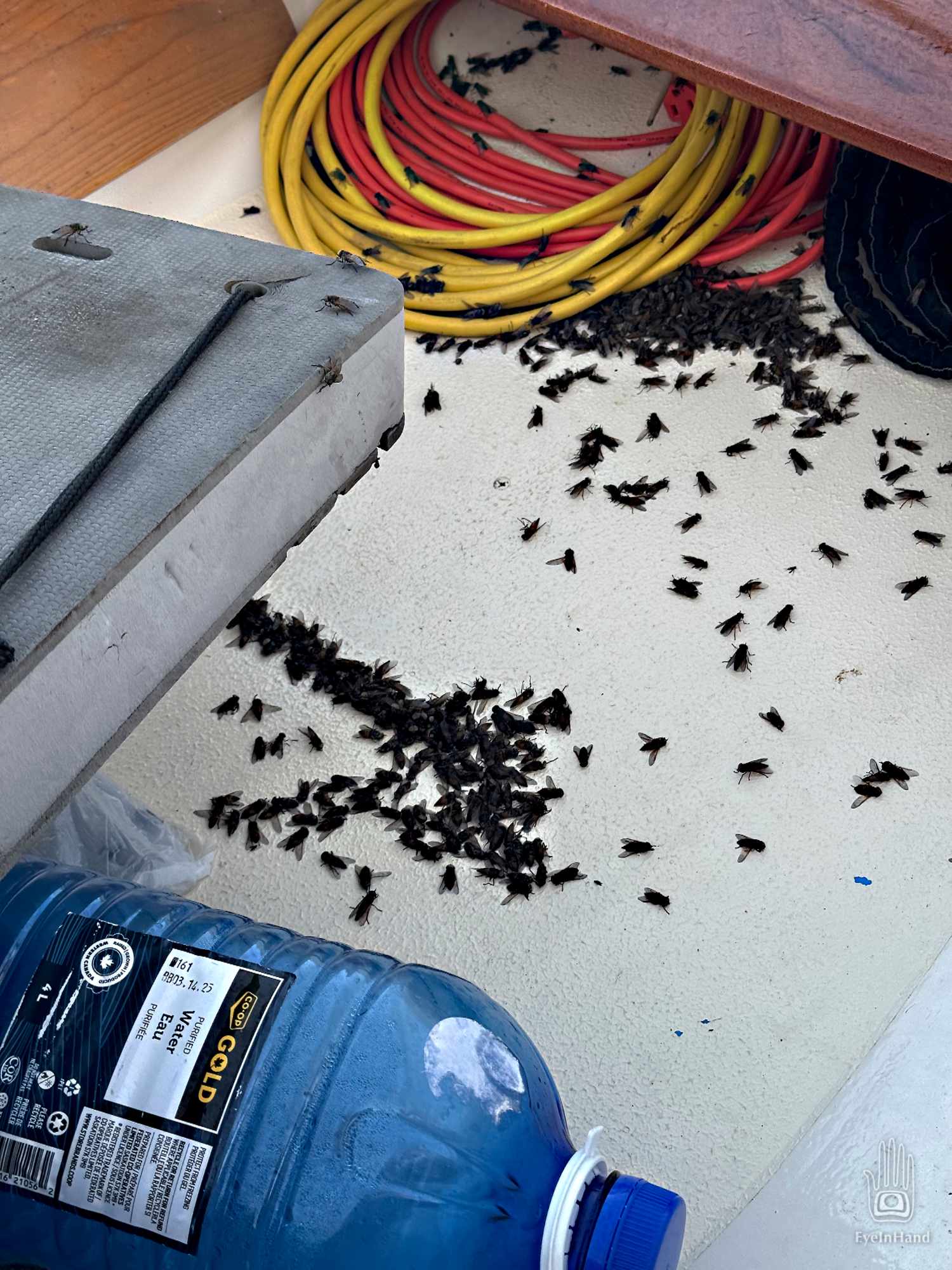
One additional oddity: Whether the time of year or the weather or a combination, we don’t know; but a plague of dead black flies covers the boat. They fill the cockpit and the dinghy. They must have hatched in the marsh overnight. They are still soft bodied and the live ones don’t yet bite. More come in and land as I bail them out of the dinghy and sweep the rest overboard. I shake them out of my hair while Doug gets us underway.