It should have been an easy day.
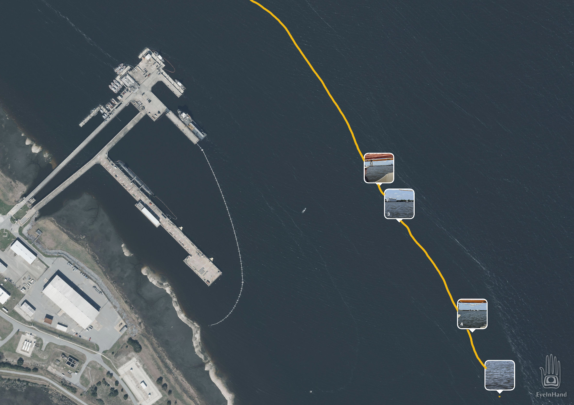
Though Cumberland is the largest of the sea islands at 20 miles long, we only need to go half that far to the anchorage at Plum Orchard. If we continue up the East River, we could bypass Kings Bay Submarine Base to reconnect with Cumberland Sound. But charts show shoals that way. With the tide falling we don’t want to risk it. The more prudent route is back south and around to the west to follow the ICW, which runs right past the base.
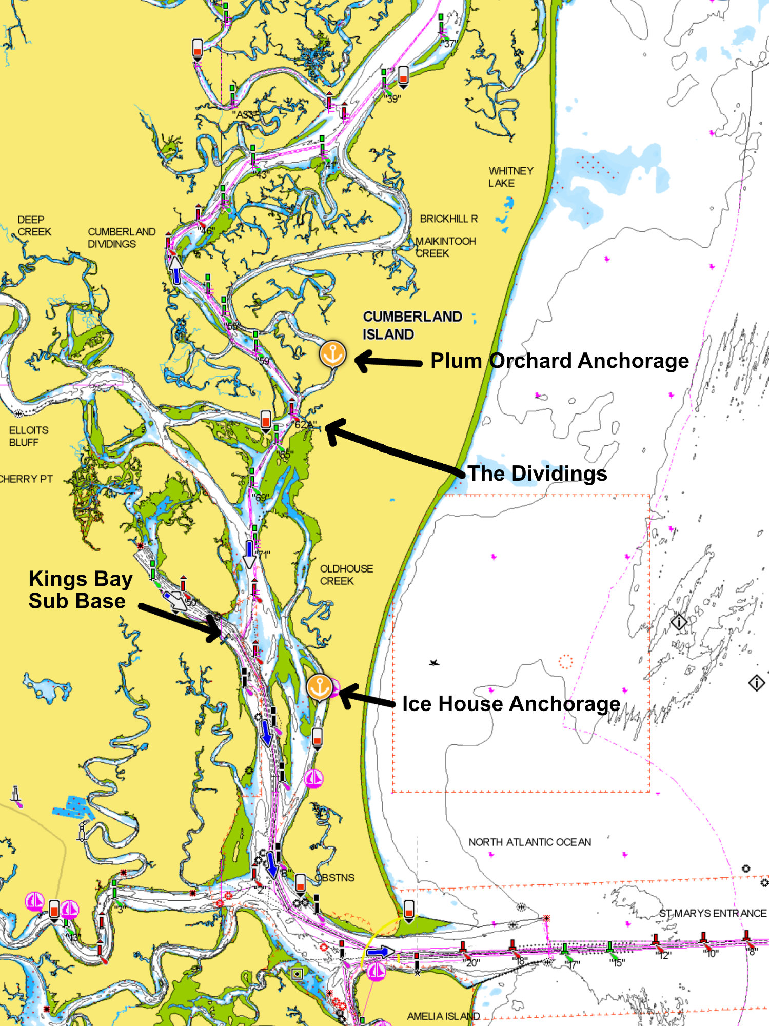
We prefer to give these twitchy military folks a wide berth, so skirt the edge of the channel as far outside as we dare. Last thing we want to do is run aground right here, of all places, and make a nuisance of ourselves. A disconcerting problem is the ICW presently passes through the middle of the “special security zone”. It appears the Army Corps of Engineers dredges frequently for subs to navigate easily; but the ICW is allowed to follow a natural shifting course. Instead of dredging a route to move civilian traffic away from the base, they just move the channel markers.
The marked route now carries us closer and closer to nuclear submarines with their pack of aggressive guard patrols. Doug has me looking for red markers with binoculars while he steers. A sub at the end of the dock looms larger and larger like a beached whale, and still we have to continue toward it.
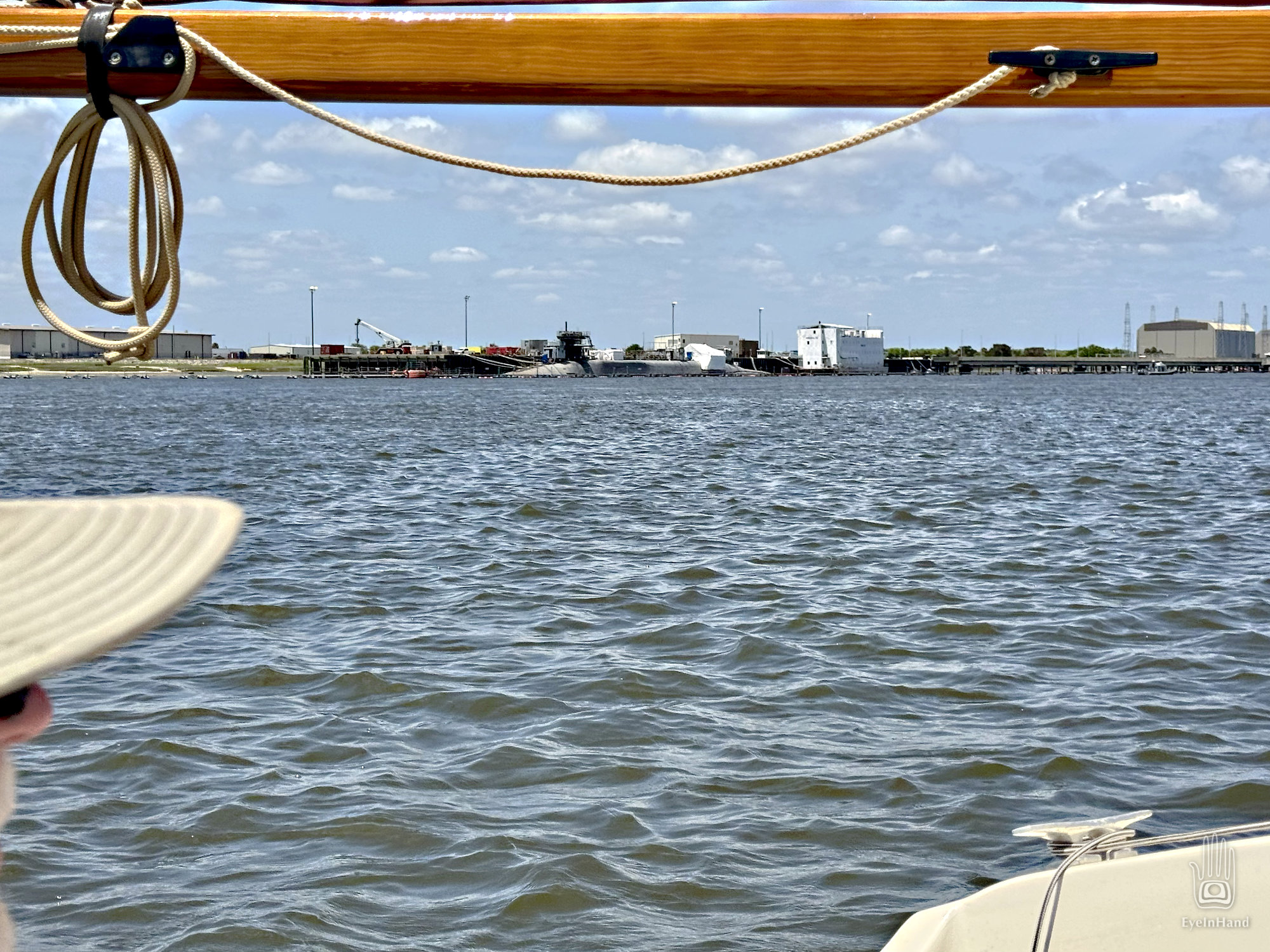
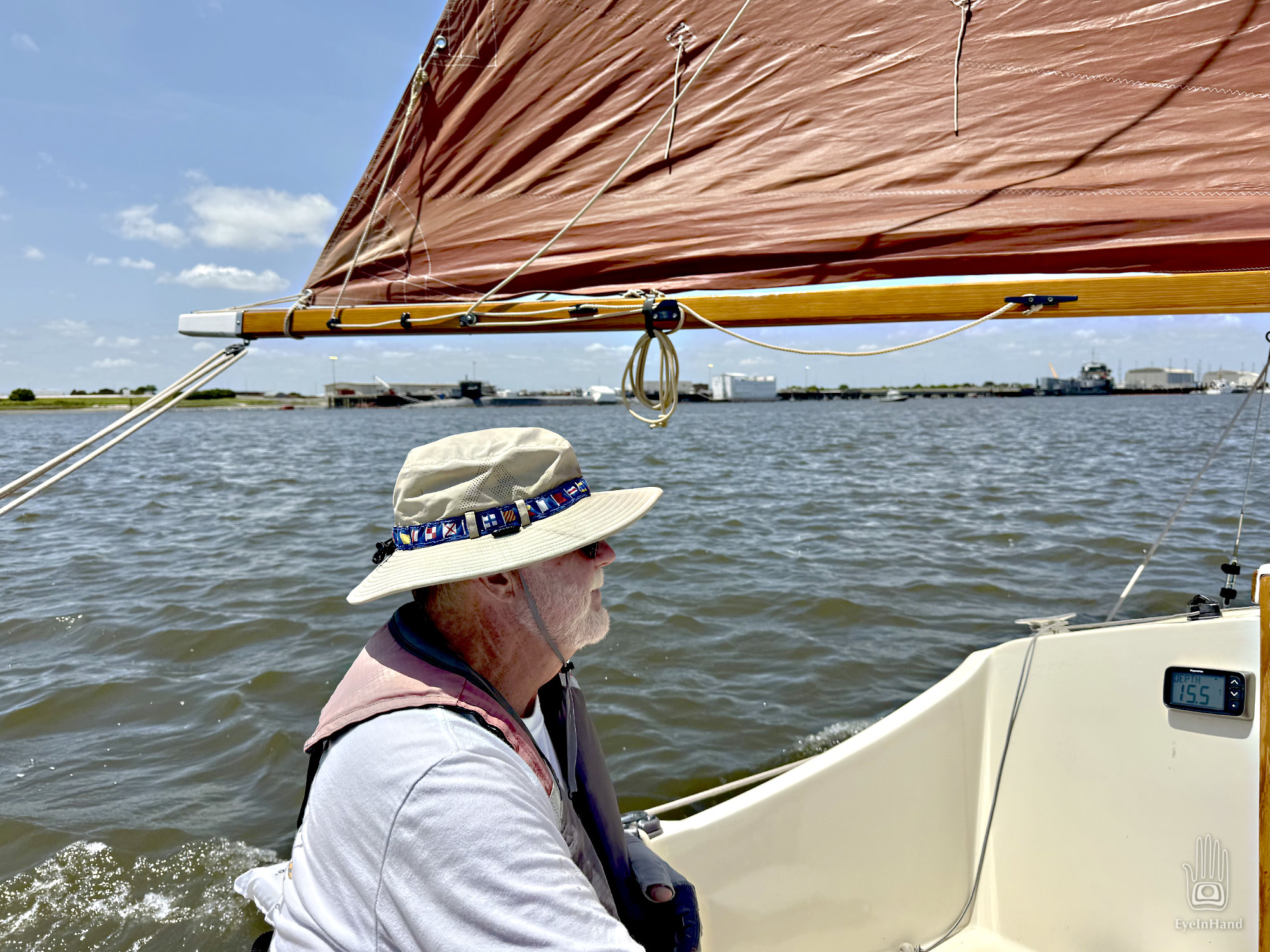
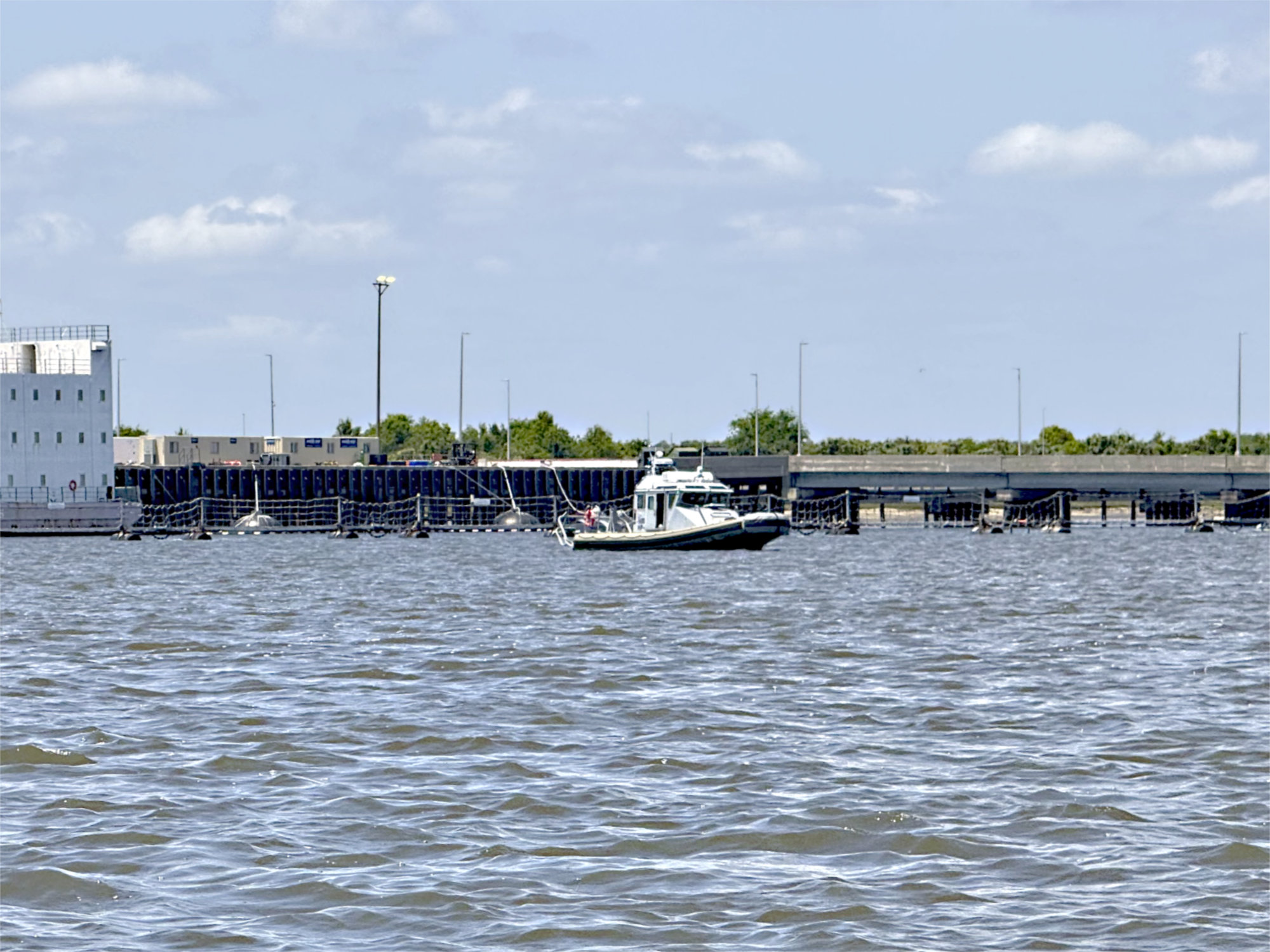
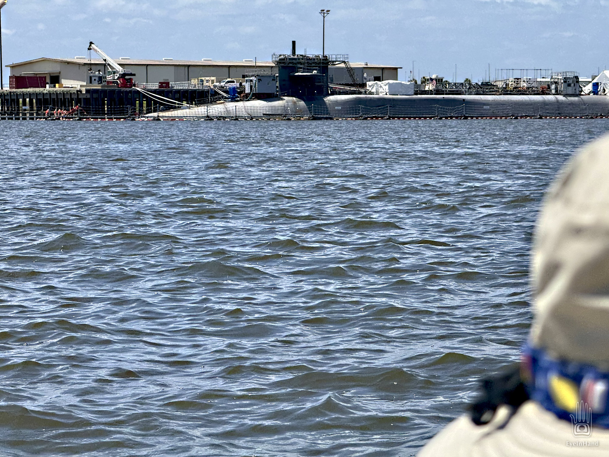
“Here come the dogs,” says Doug. I put down the glasses and see two patrol boats prowling out from the base. They then stalk us like junkyard dogs. Doug waves to them in the most unthreatening way possible and tries to smile big enough for them to see. They do not wave back. We’re not liking this. I see the next red marker, even closer to the base, and say, “That can’t be right, can it? It’s way over there!”
Doug is trying to steer while looking over his shoulder, keeping an eye on the patrol. With all the twisting, the cushion he uses for a back rest goes over the side. The wind and tide push it merrily toward the patrol boats. It’s a new white cushion, one of a pair he bought just for this trip. He really, really wants that cushion back.
“Doug, the only thing they’ll like less than you throwing cushions at them is us trying to fetch it. And I don’t think they are going to pick it up and bring it to us.” The nearest patrol is close enough now I can see that’s not a harpoon gun mounted in the bow pointed at us, it’s a really big machine gun. I don’t think they like me pointing a camera at them, either.
While Doug runs through scenarios that involve getting the cushion back without getting shot, I look back at the chart to figure out how this makes sense. I touch one of the little warning icons, which I assumed just says don’t piss anybody off here. In fact, it says, almost nonchalantly, the red/green markers reverse and switch sides right here at the base. We’re going the wrong way. We’re outside the channel, over a sandbar, and way too close to that submarine. No wonder the dogs are stalking us.
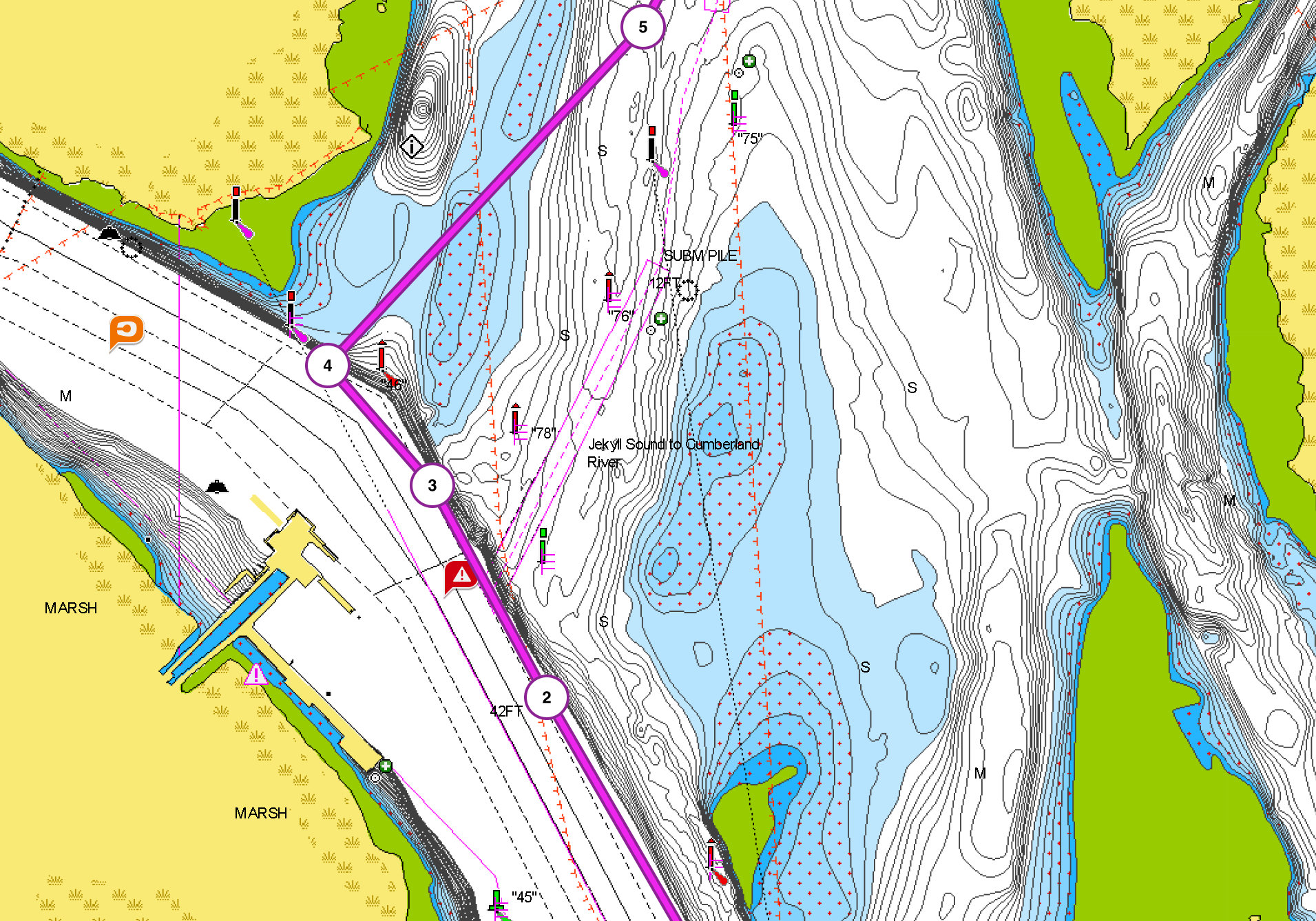
Doug makes a 90 degree turn around Red 46 and points us at the nearest green 100 yards away. It’s shallow enough we can see sunlight on the bottom. We raise the centerboard halfway, and hold our breath until we clear the bar. Back in the channel I see the red marker we should have followed was bent over like it had been hit. No wonder we missed it.
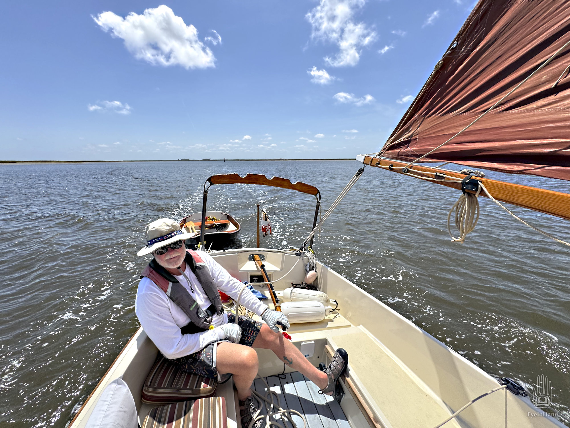
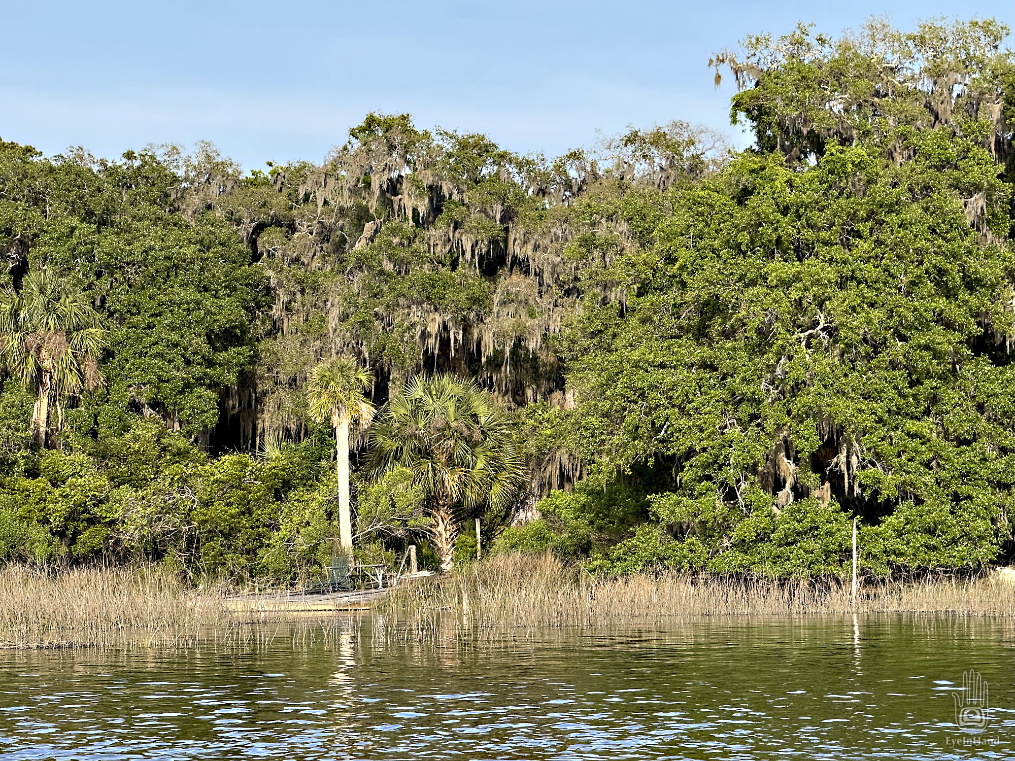
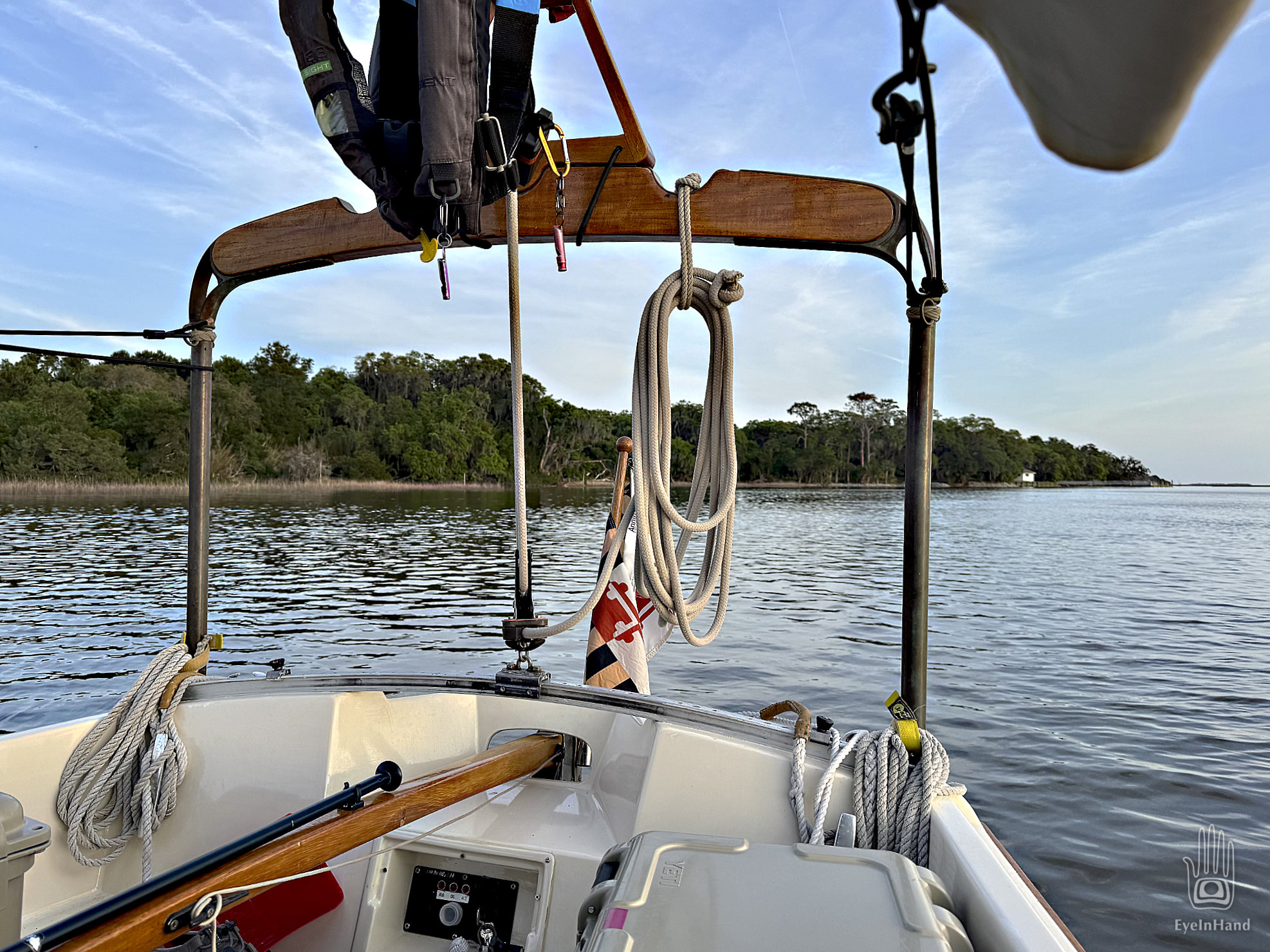
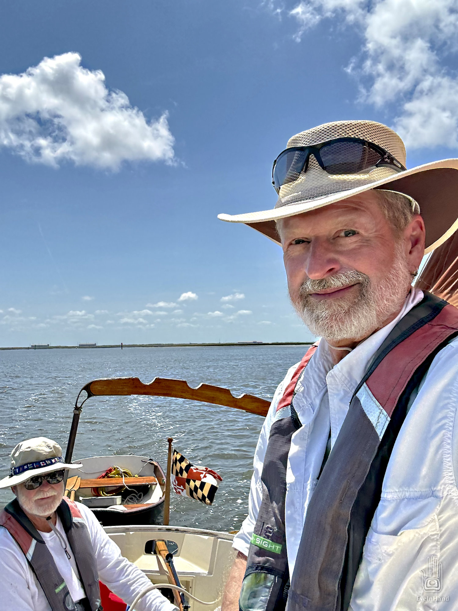
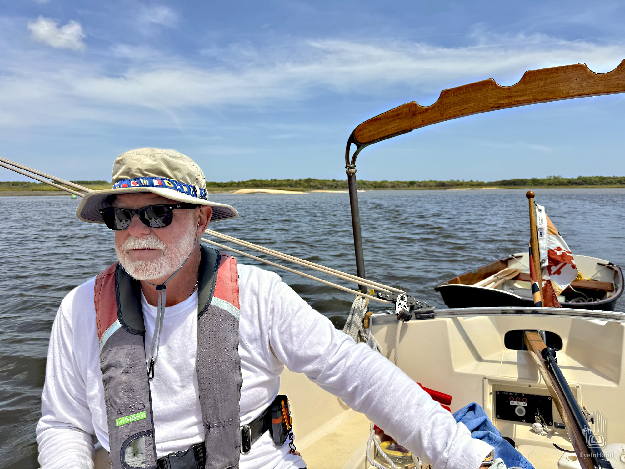
Everything improves the further we get from Kings Bay. Broad marshes fan out on both sides. A fresh breeze comes up from the east, and we have the best day of sailing yet. We aim for Brickhill River, a side creek that curls along the bluff of Cumberland Island. We can anchor there for the night next to Plum Orchard mansion.
We’re still sailing well, but Cumberland Sound narrows quickly. Sandbars emerge above the water on both sides, temporary buoys are canted over in odd places. Apparently things move around a lot here. Many warning notes in the charts about shifting shoals and boats run aground. This place is known as The Dividings. It’s what Steve Early and I have been calling the Head of the Tide; but in sailing logs for the past several hundred years these places are referred to as “dividings” – where opposing tidal currents meet, then divide and flow opposite directions. At such places, rivers peter out to narrows, and stalled currents let sediment settle out in bars and shoals. Which we now see everywhere.
We come to a sharp turn where the channel is only a few boat lengths wide. It’s at this exact point where two separate fleets ran aground in two separate wars, botching the outcome of battles. During the Revolutionary War, a fleet of British schooners came down from the north to meet a landing party at Amelia for an attack on the fort. But the schooners could not tack through the dividings here. They ran aground and remained stuck on the sand until the attack was abandoned. The same thing happened to Union gunboats in the Civil War.
We follow a friendly trawler we met in St. Augustine, and he leads us safely through the turns. We avoid getting stuck, but are so preoccupied that we miss the entrance to Brickhill River, which looks more like a little marsh creek. Catching our mistake we backtrack, then follow it another mile to arrive at the anchorage. It’s secluded, and protected by tall trees. The public dock is closed for repairs, so we won’t have any company. And we have time to row ashore for another hike.