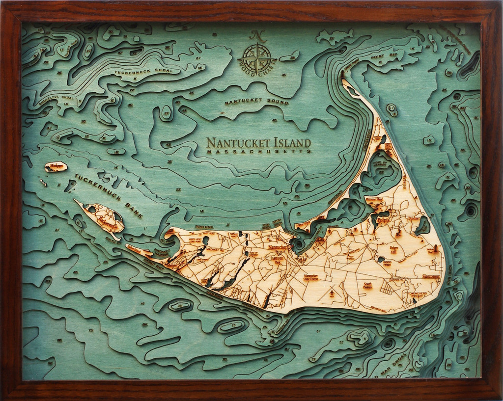
I came across a neat gift-ish arty idea today. Bathymetric charts of well known bodies of water, laser cut and laminated out of wood. They’re stacked up like inverted topo maps, showing the contours of the bottom.
It’s a new company, only a month old, but they already have a nice selection. They’re a husband and wife team called “Below the Boat” out in Bellingham, Washington, and the maps themselves are made by another couple up in Michigan.
Pretty cool, especially for those of us who both like working in wood and being on the water.
via Colossal


Yes. Some nice looking stuff. However, the maps are actually made overseas. The “northern Michigan” company (sometimes listed as being in Wisconsin) providing the maps has a number of companies and stores selling their stuff. I prefer the maps made in America with American materials. May cost more, but hey, do you want to support your fellow citizens or someone “overseas”?