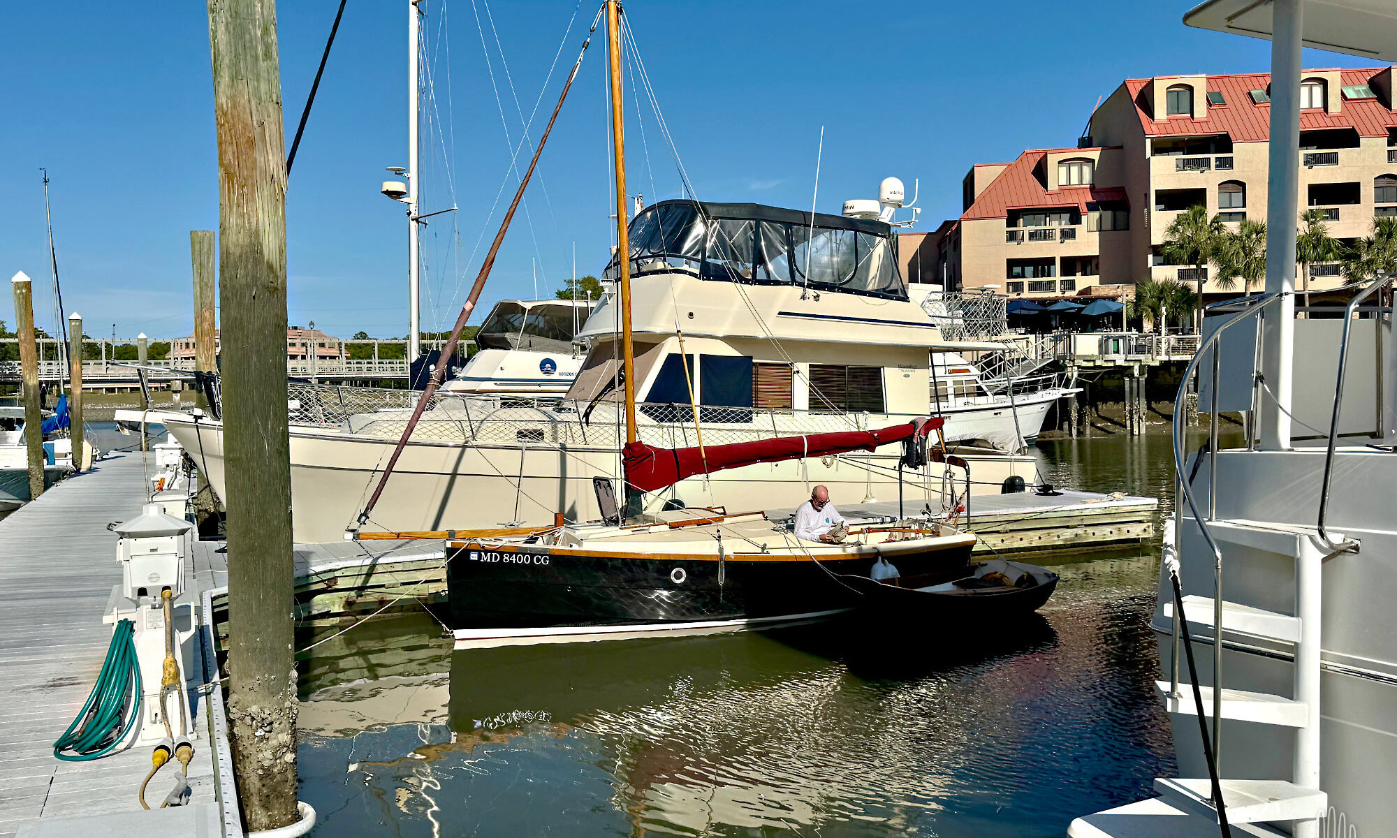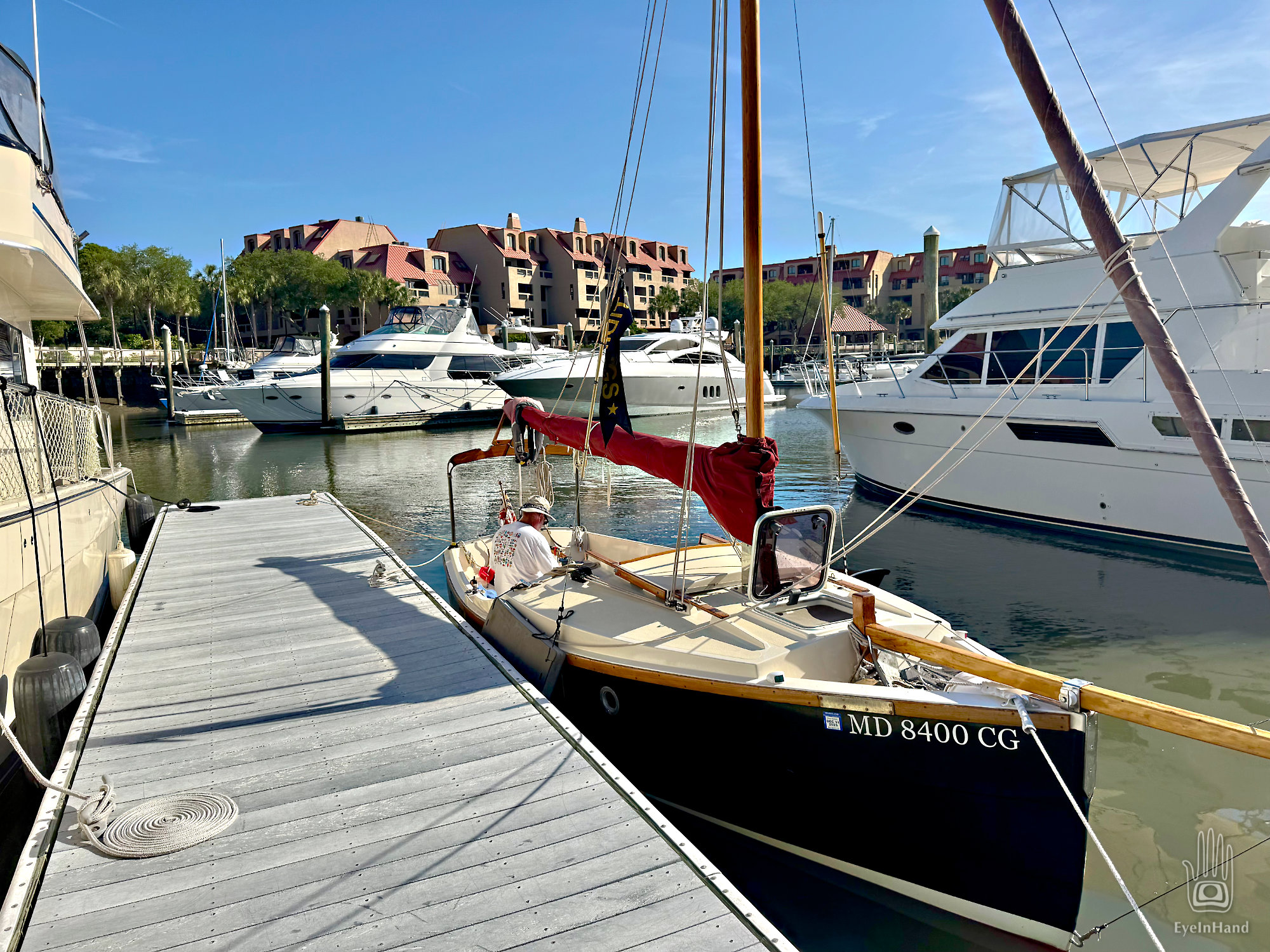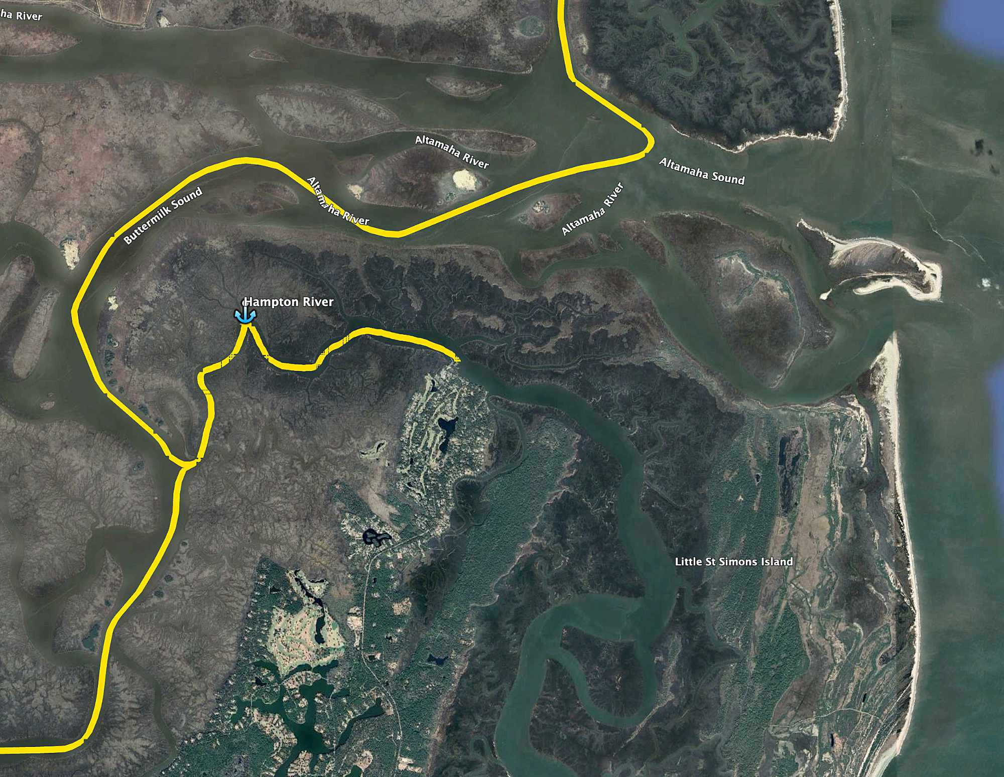
In the morning we have a flood tide to float us out of the Magic Kingdom. It’s even high enough to squirt us through a local shortcut and shave 10 miles off our last leg, saving roughly two hours. By late afternoon we will be docked in downtown Beaufort, SC, where Doug’s circumnavigation will pause until the summer hurricane season is over.
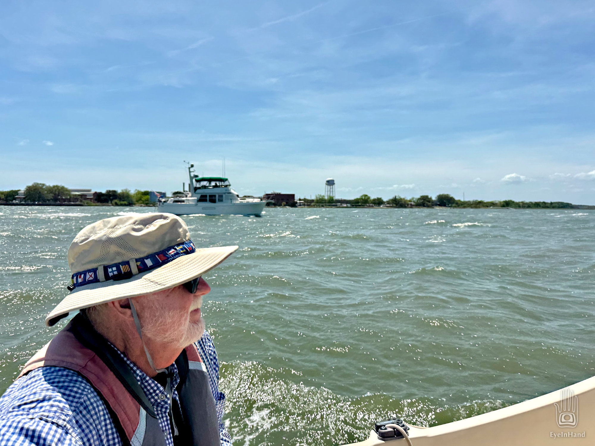
Up Calibogue Sound we go and out Skull Creek past Webb’s pier and condo, then out into Port Royal Sound. The tide has turned and carried us past Hilton Head, but that means it’s now rushing out of creeks, marshes, into two big rivers and out of Port Royal, headlong into a fresh breeze coming in off the Atlantic. Port Royal Inlet has a reputation for much unpleasantness with unwary boaters. In truth, we find the roughest passage of the past three weeks right here, coming down the home stretch.
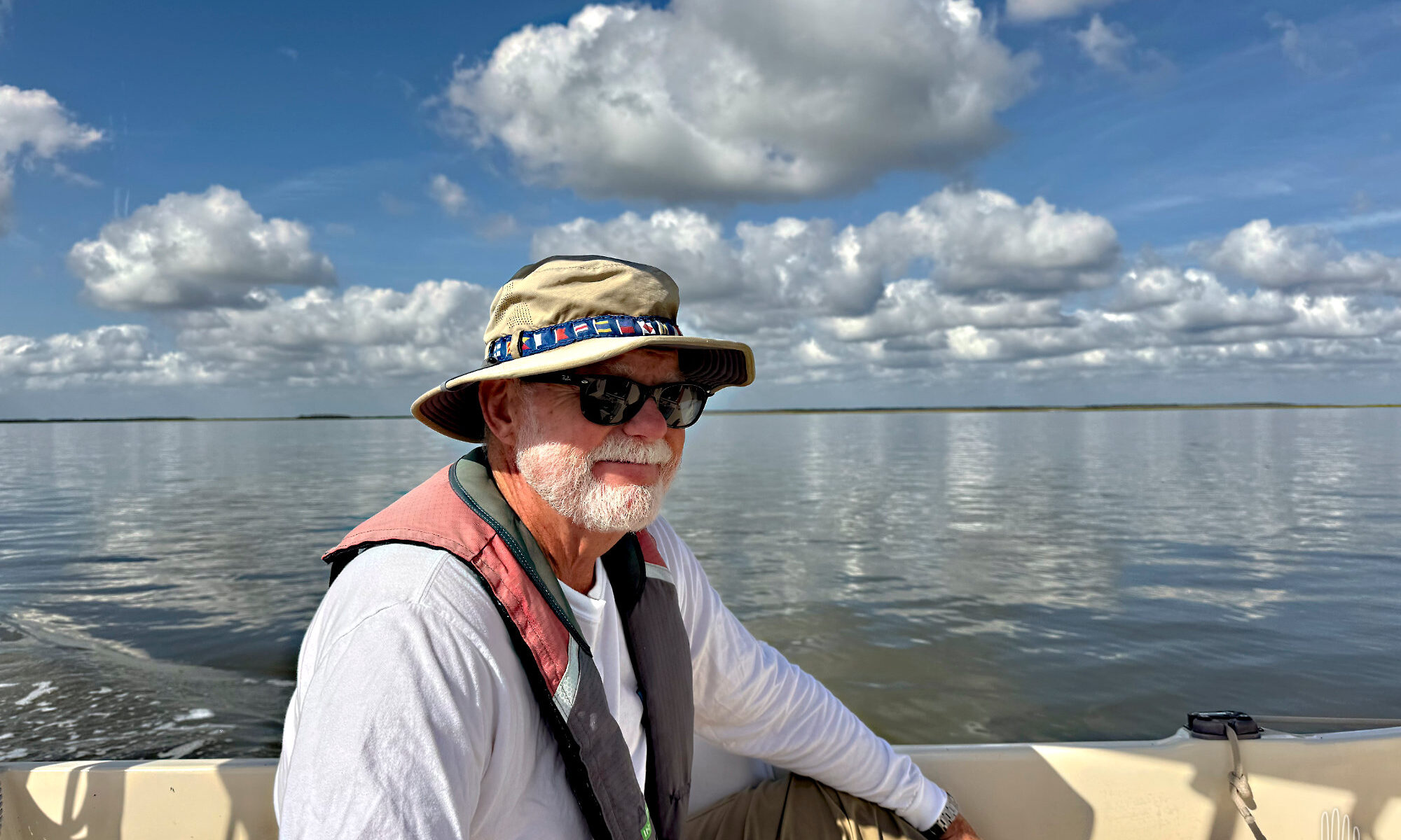
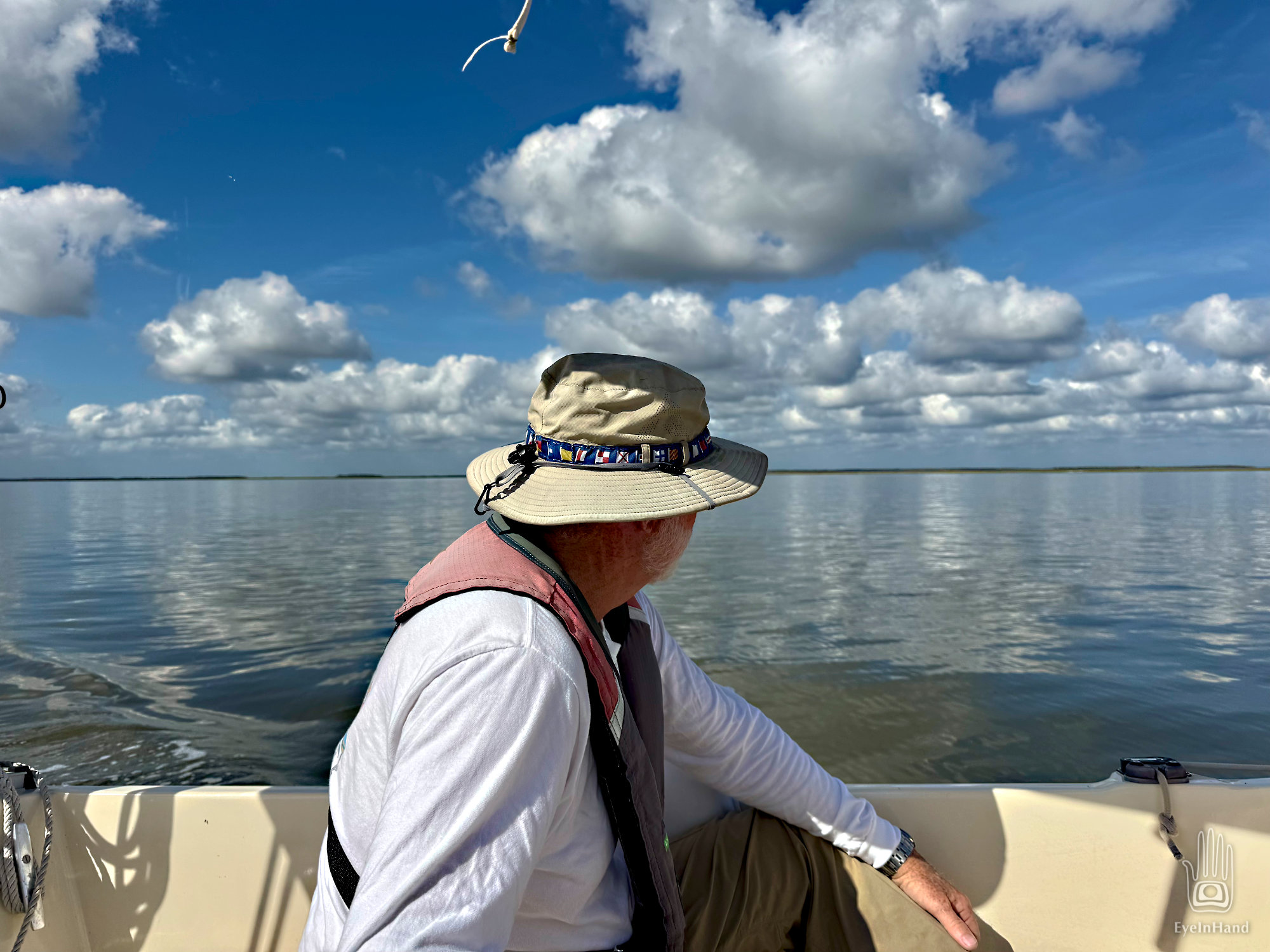
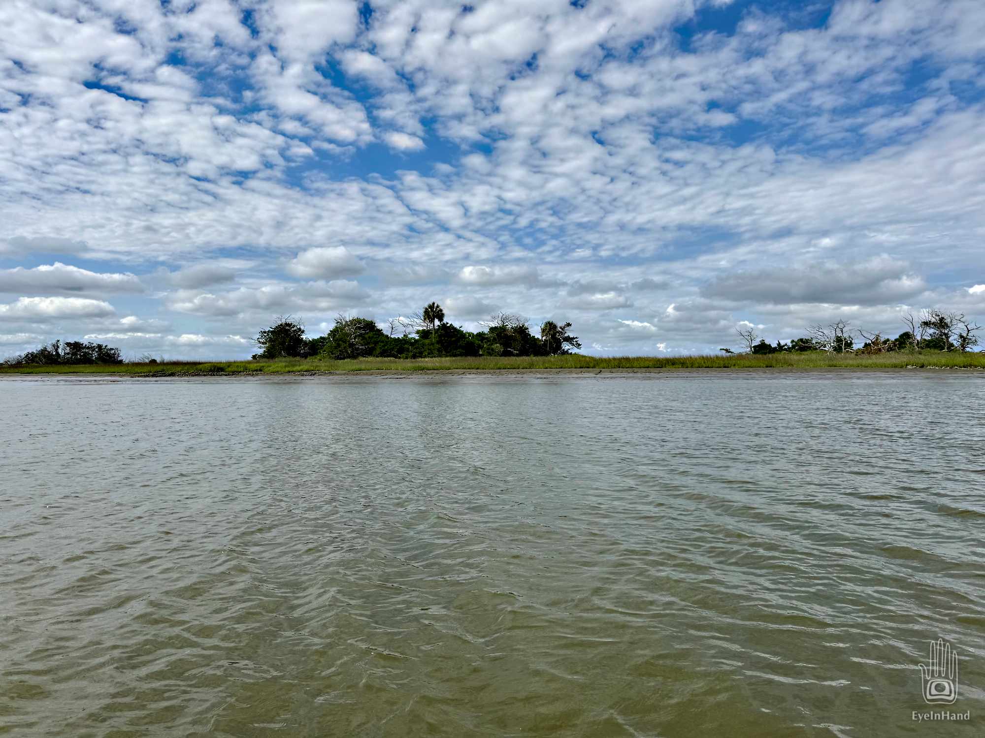
We swing across the mouth with the ocean over our shoulder and make the turn to head up the Beaufort River. At the turn, I can just make out Fripp Island to the north where my parents still live, where I spent many summer days since elementary school.
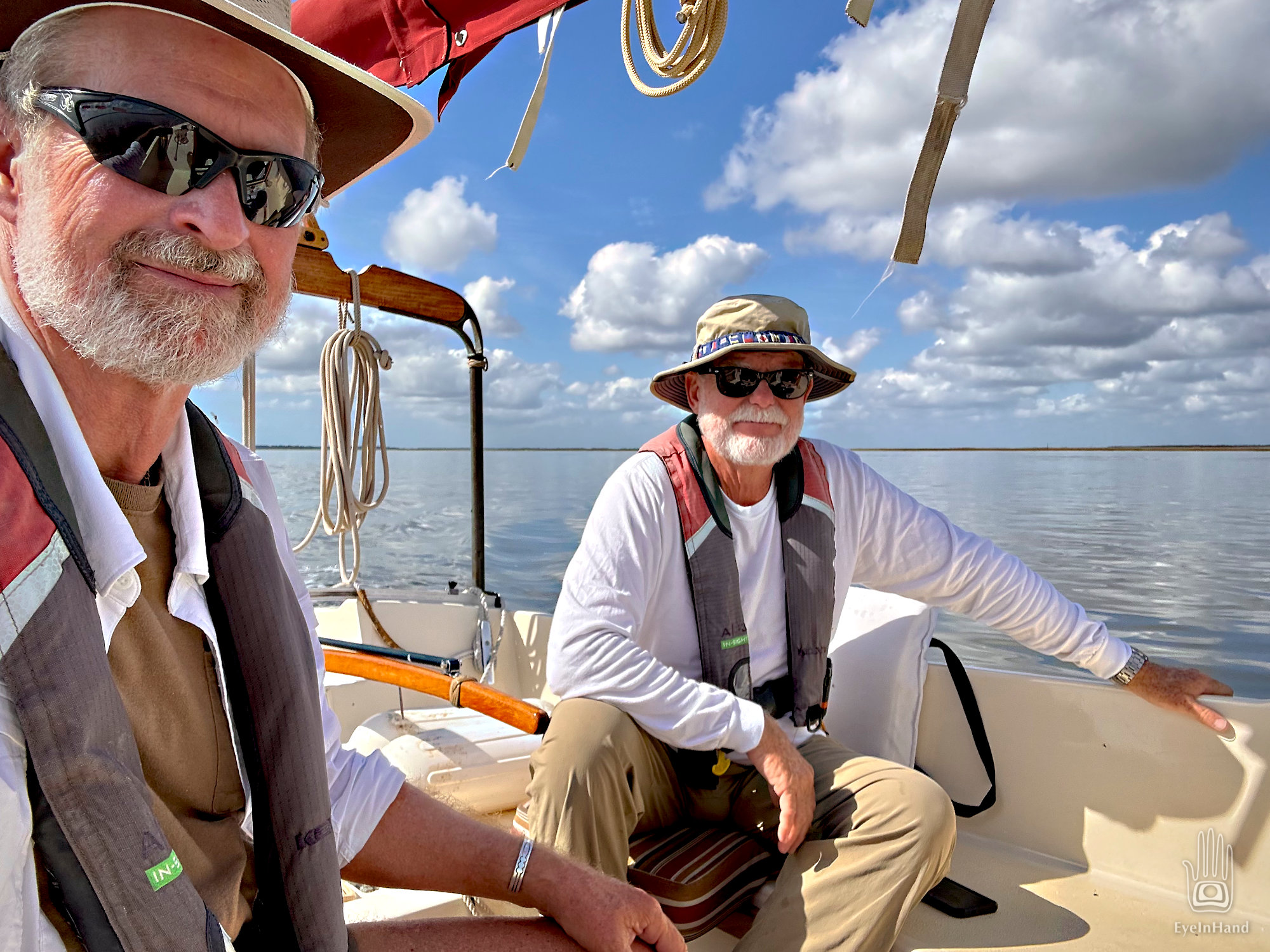
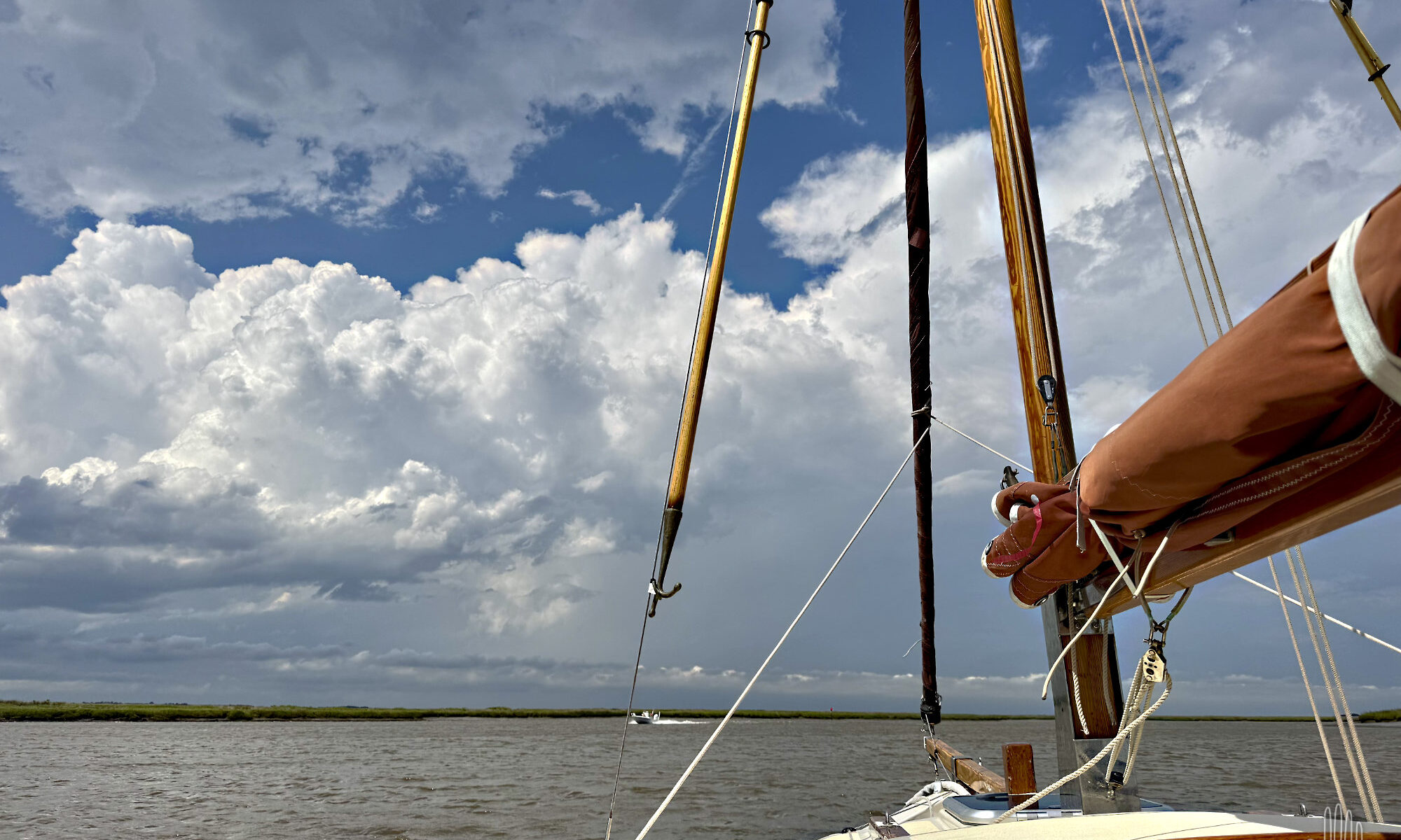
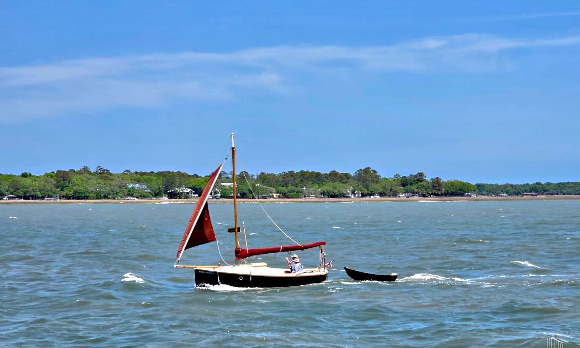
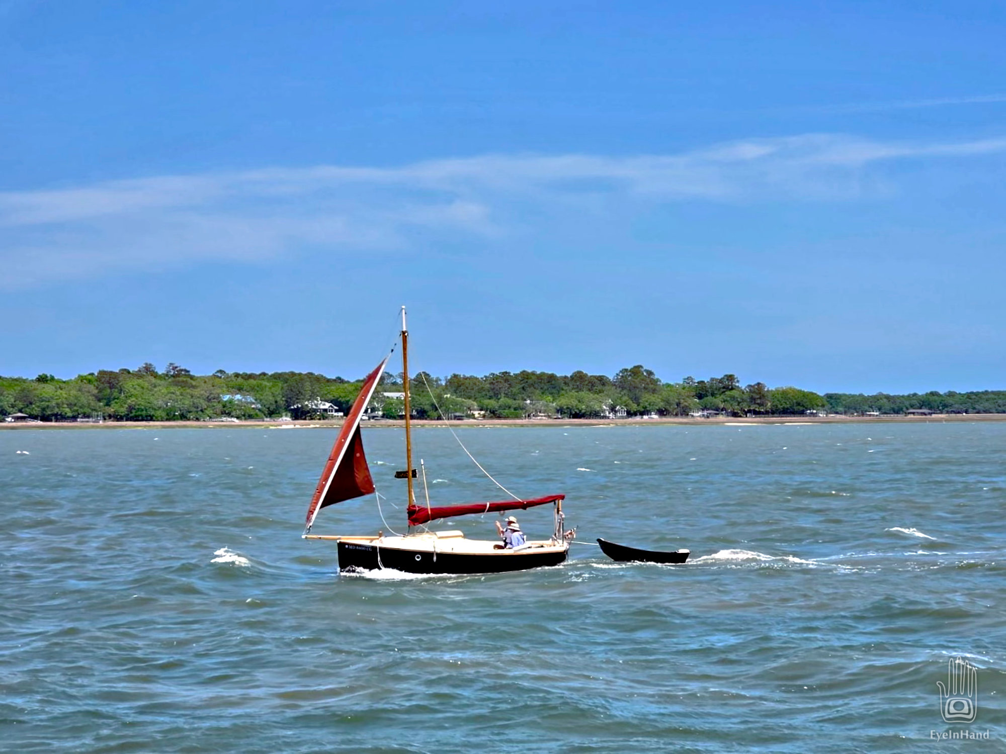
At least we aren’t beating INTO the wind. With the main furled, the jib flying, and help from the motor against the current, if feels like we’re galloping along with a herd of horses. White caps are everywhere, waves rolling, but they’re going the same direction we are. A trawler we’ve seen before runs alongside us, snaps a photo and sends it to Doug, with another taken when they passed us back in Georgia.
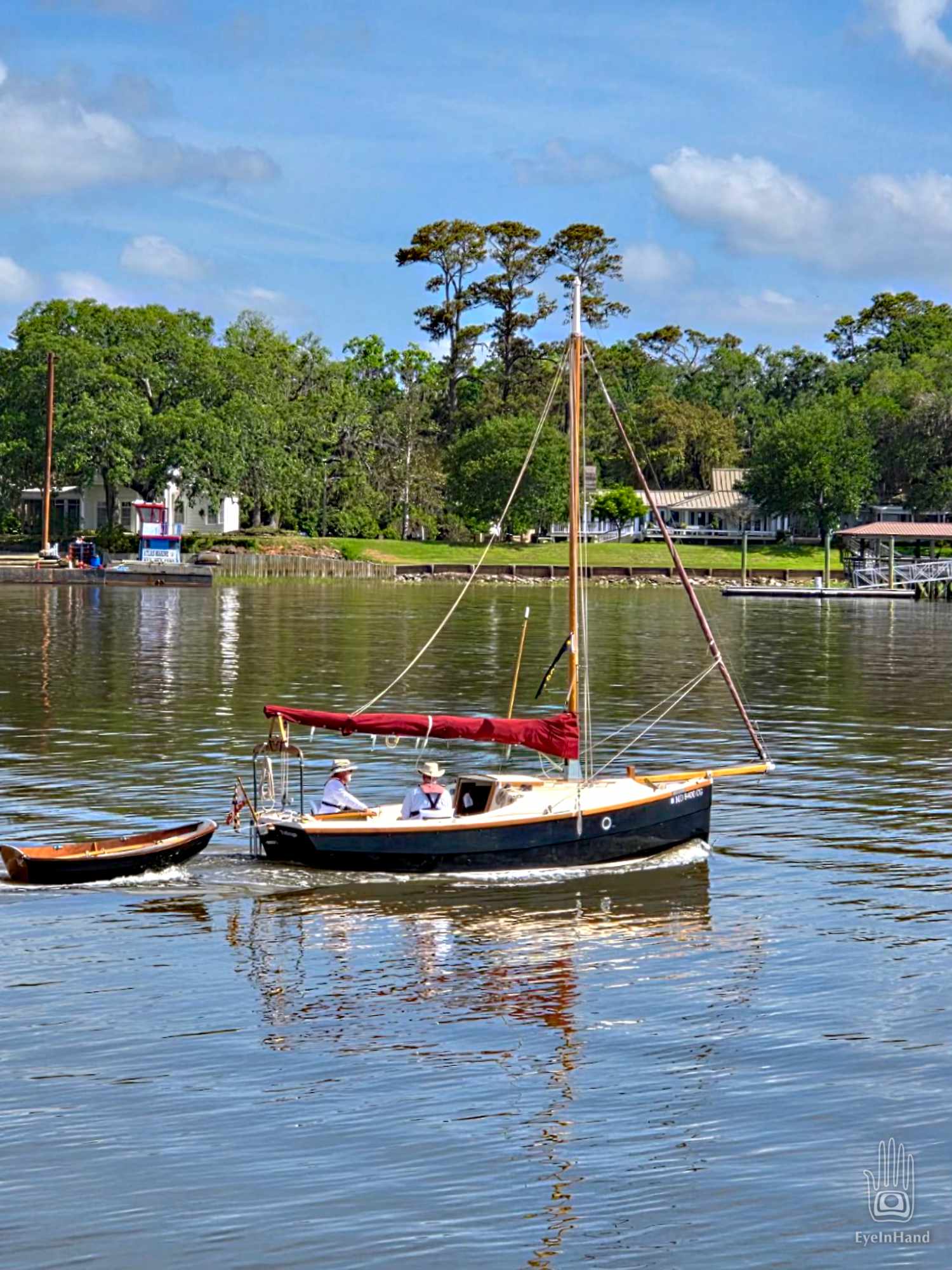
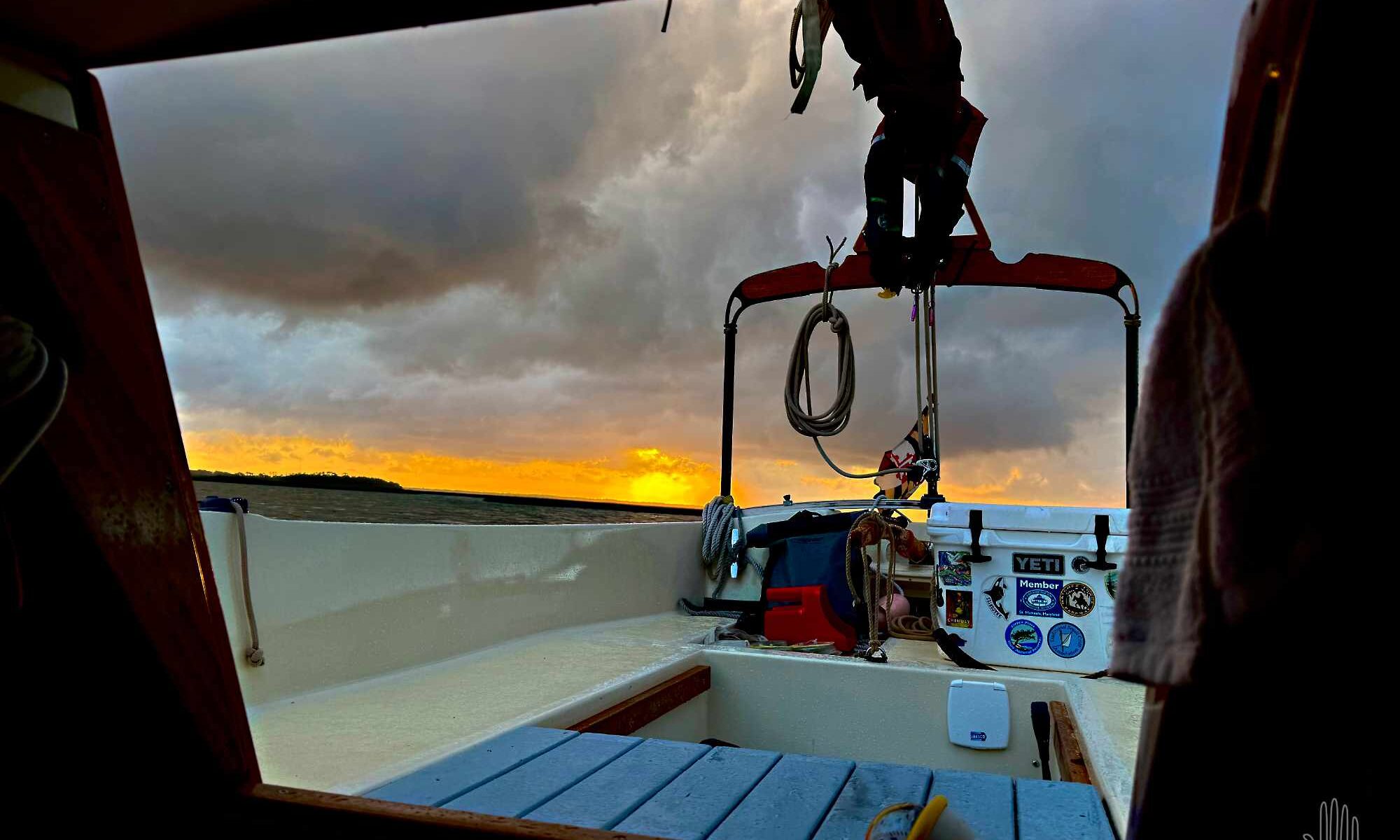
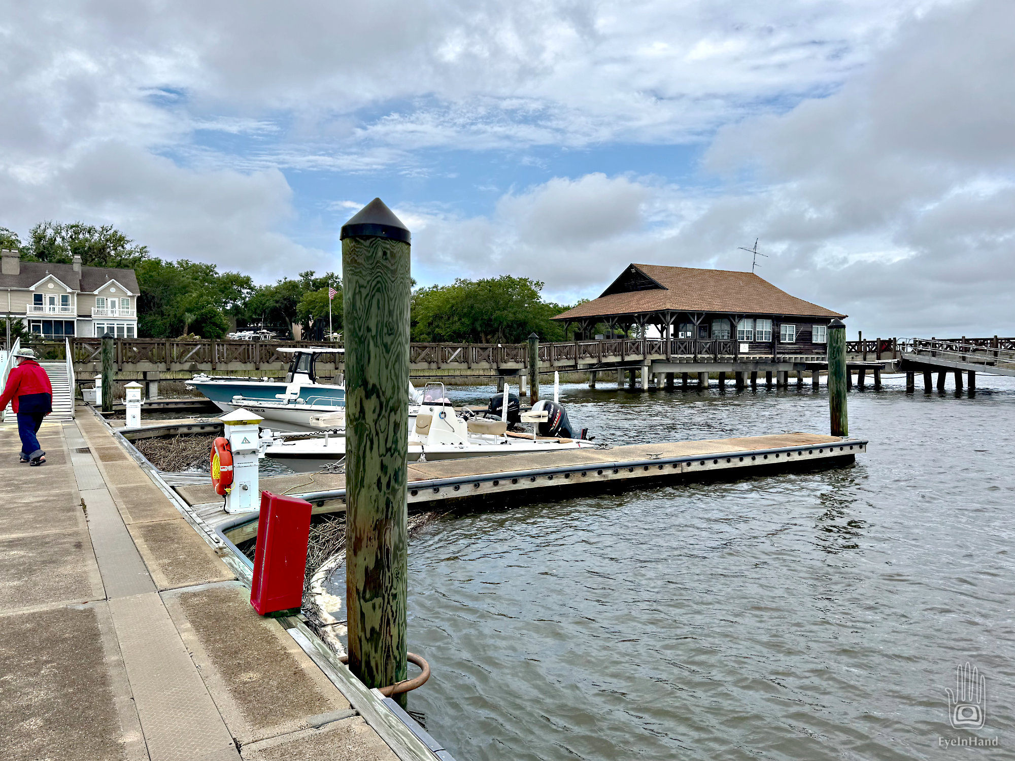
We pass Parris Island, then the funky old seaport village of Port Royal, turn under the “new bridge”, and just like that we’re docked in Beaufort on the waterfront.
Continue reading “Sea Islands 300 : Last Leg to Beaufort”