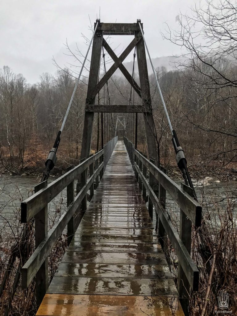
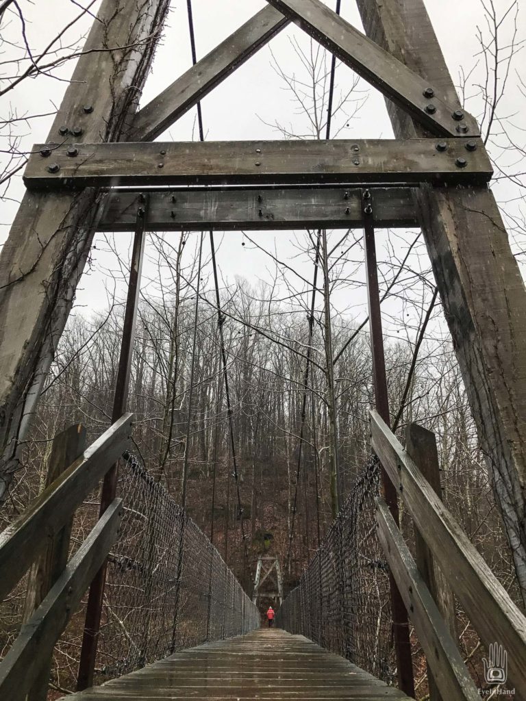
Swinging footbridge over the Cheat River
Otter Creek Wilderness
T photo
Leaving the falls, our route heads upstream through the water gap and across the valley. At the southern rim we leave the main road and zig-zag down into the next valley – through hollows, past small farms – on roads barely a lane and a half wide. It’s pretty country, old barns and orchards clinging to the steep hillsides. Down, down, down.
Near the bottom the road turns and follows a winding creek for several miles and debouches at the Dry Fork of the Cheat River. The road, now just one lane wide, tip-toes along a ledge at the foot of the gorge, just a few feet above the river. Mergansers slip off rocks in the stream and bob away, watching us warily over their shoulders. It’s still raining. Water is sluicing off the mountain in waterfall curtains that shower the roadway.
Further on, the river wends away, jumping old stream beds to veer around islands of young trees, or the rubble of past landslides. At a small sign we take a turnoff and find a trail that leads back to the river, where it crosses on a swinging footbridge that crosses the Cheat and heads off into Otter Creek Wilderness on the other side. It’s quiet. Coon hounds howl up in the hollows.
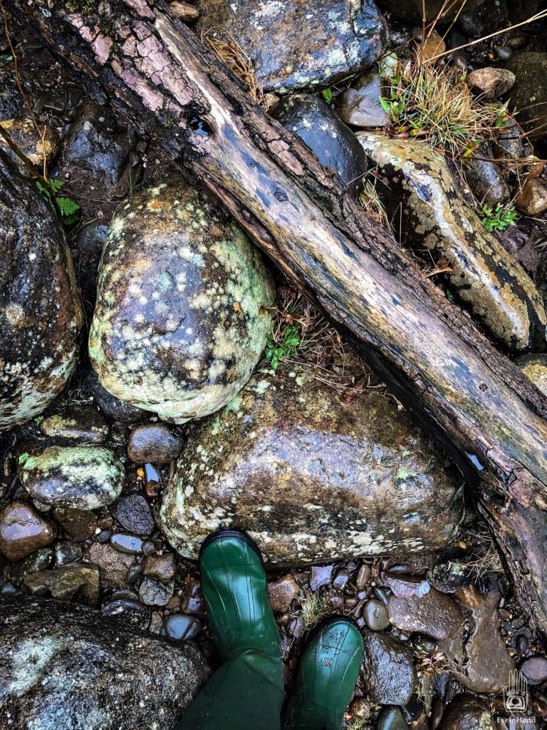
We cross the bridge and walk a short way along Otter Creek, over smooth wet stones and timber snags. Except for the dogs in the distance, there’s no sound but the rain and the river.



Stunning! The trees step aside to let the little green things have their moments in the….sun(?)
You luky guys… Please keep these places public and free from urban development.
Thanks guys, a very pretty place, sunshine or not. Urban development is no threat this far out in the mountains, but coal mining and timber cutting are always looming. When we left we saw whole mountaintops blasted and bull-dozed into these valleys to get to the coal. Only the areas like this, designated wilderness, are safe (for now).