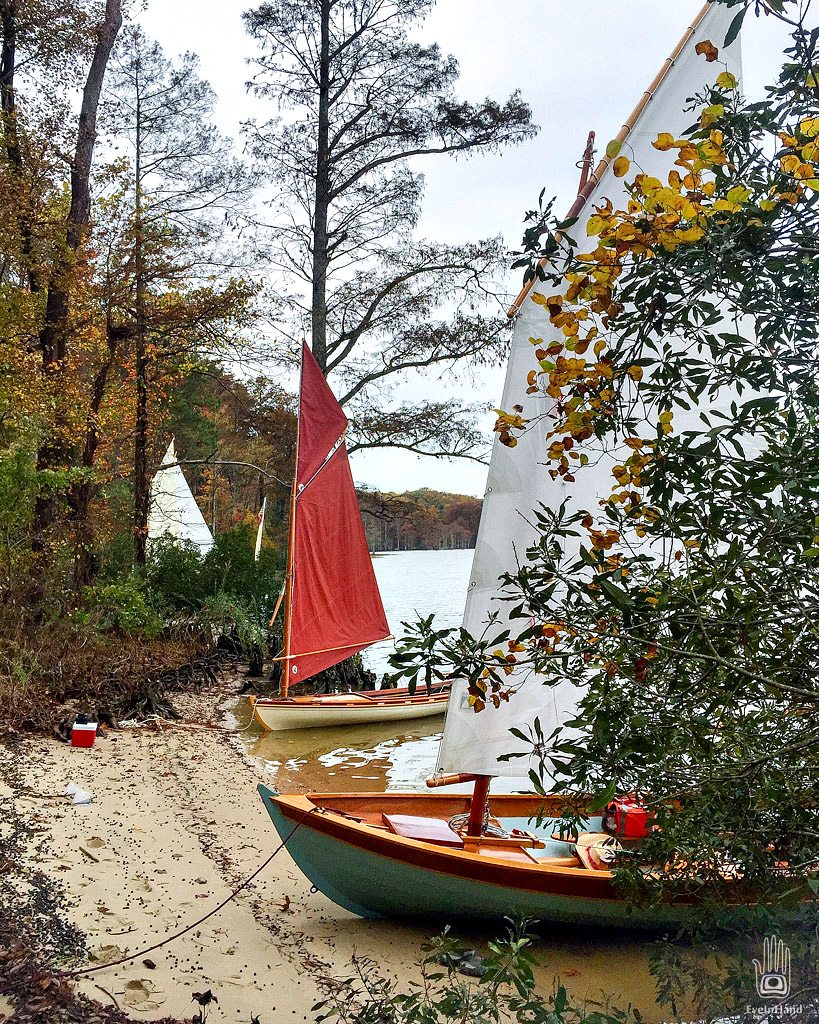
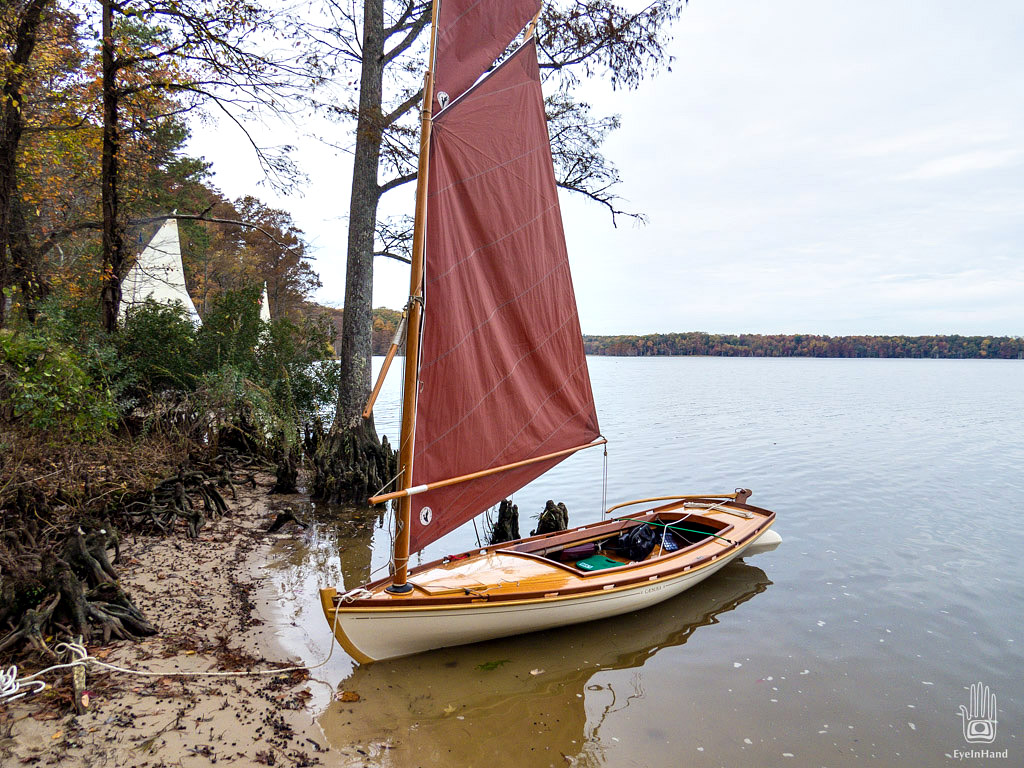
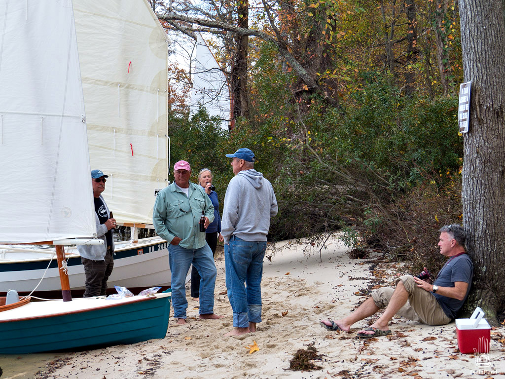
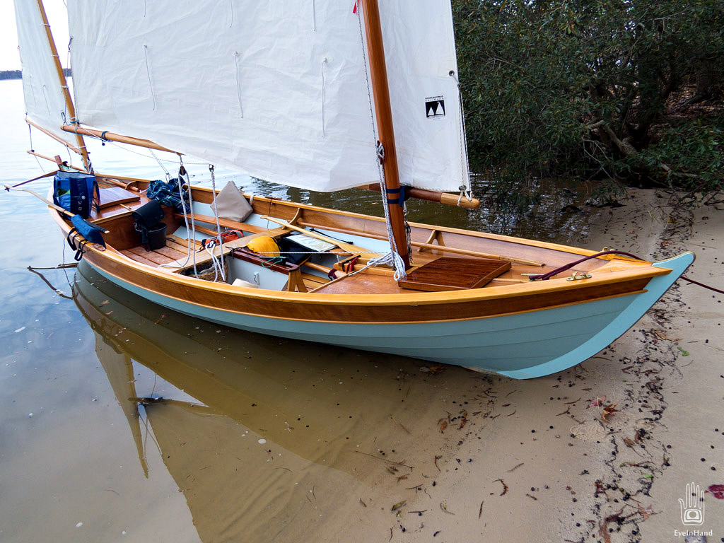
Inside a broad cove there’s a sand beach, out of the wind beneath a bluff. Cypress knees serve well for docking cleats.
The beach is covered with purple-black and green berries, that Barbara tells us are pickerel weed seeds. They’re everywhere. You can see them in a distinct band along the whole shoreline in every direction. They remind me of the coffee beans I saw fermenting in water, then drying in Guatemala.
Across the beach bar and next to the bluff is a blackwater tupelo swamp, the water so black it looks blue.
This western shore is all Wildlife Refuge and Management Area for the next three miles. Deep in the Management Area is a practice range. With hunting season upon us it’s a very busy place, apparently. Gunfire is constant, like a battle raging in the distance.
This landscape has been witness to repeated battles over hundreds of years. The site of the Jamestown Colony is just downriver; we could see it as we left the marina. Conflicts between the settlers and the Powhatan tribe occurred all along this river and in the forests that surround it. Williamsburg, the Colonial capital, is only a few miles from here. King George’s redcoats marched through repeatedly, harassed by farmers and woodsmen with muskets and bayonets. During the Civil War, gunships moved up and down the James past pre-revolutionary war plantations, on the way to attack the Confederate capital in Richmond, or to defend it, often engaging in battles along the way.
But in all that time, this whole countryside – swampy and of little financial value – has changed very little. So little that when the movie The New World was filmed, they filmed it right here in this same wilderness, the same place where it all happened over 400 years ago. Even in the trailer you can see some of the places we passed today.
A good friend of mine is a member of the Pamunkey tribe, a branch of the Powhatans. He was impressed by the great lengths the film crews went to getting the everything visually accurate.
From the beach, I can see fossils embedded in the sandy bank of the bluff. Layer upon layer of history, going back millions of years.
The shadows are getting longer, and there’s a little breeze to catch. We pack things up and shove off.






Hi Barry,as usual your photos are stunning.Thanks for giving me a glimpse in to you parts of this incredible country.What types of cameras are you using .? I’m surprised how much this area looks like South East Louisians Honey Island Swamp near Lake Ponchartrain.Thanks again ..Jerry
Hi Jerry,
Yes, this area is very much like south Louisiana. One of the reasons I like it so much. 😉 The whole Chickahominy – up to 8 miles wide and nearly 100 long – is all cypress and tupelo swamps. The river is narrow, the swamps are wide, like a smaller Atchafalaya. The only thing missing is the Spanish Moss.
I mostly use three cameras. When it’s calm, like this day, a Canon SX50. http://amzn.to/1Nhamnl Great all around camera that I can work with one hand.
If rainy or rough, a waterproof Canon D20. http://amzn.to/1Nhaq6G
And also the ubiquitous all-purpose iPhone in a waterproof case. Most of the photos from this trip were with the SX50.