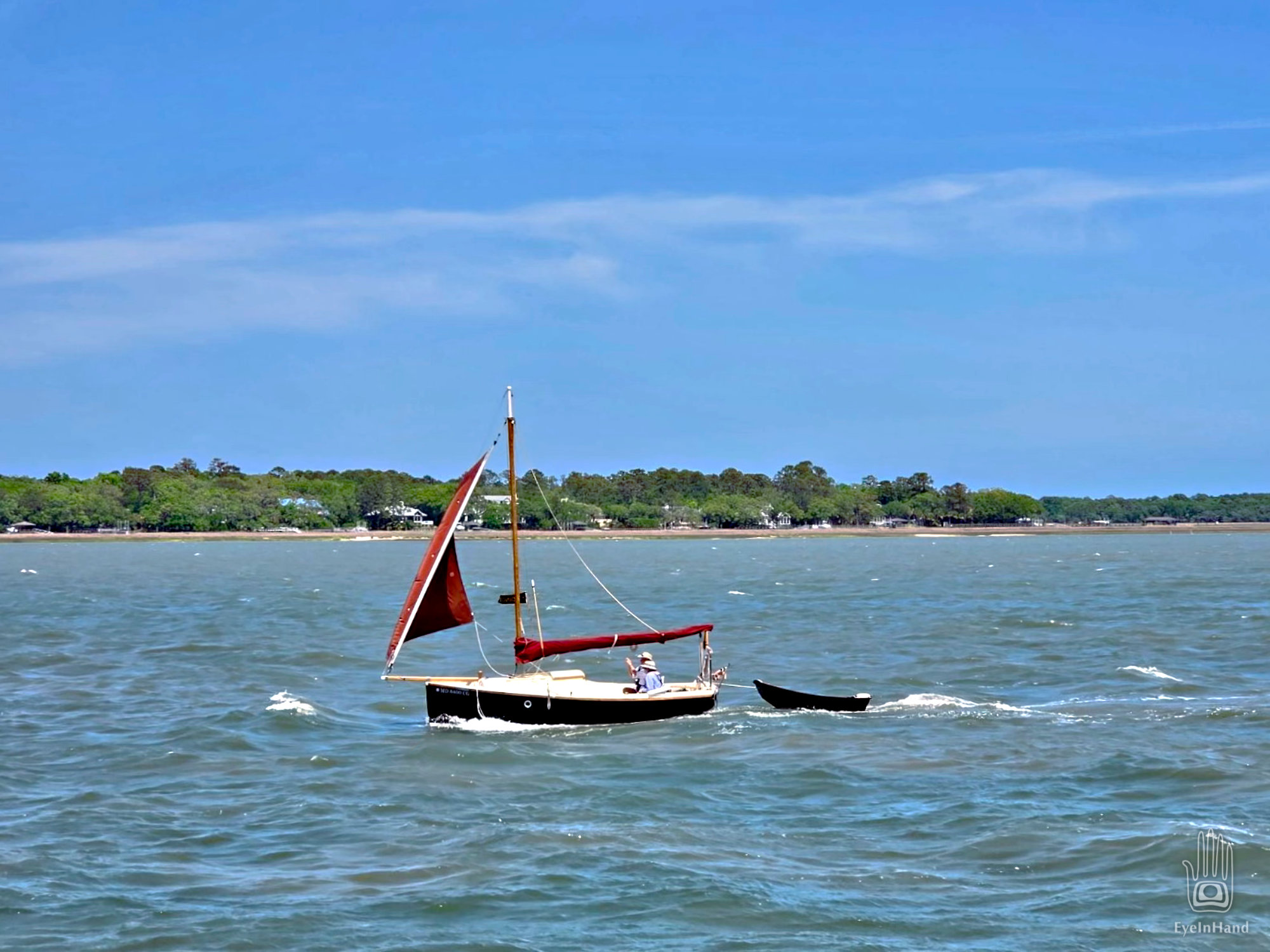
Doug L and I got the Melonseeds out for a short sail. The first time this year for mine; his second.
Doug has a Crawford boat, which will soon become collectors items. I have not yet lowered Caesura down from the rafters to relieve Aeon on the trailer, so Aeon got to play again.
Caesura still hanging in the rafters
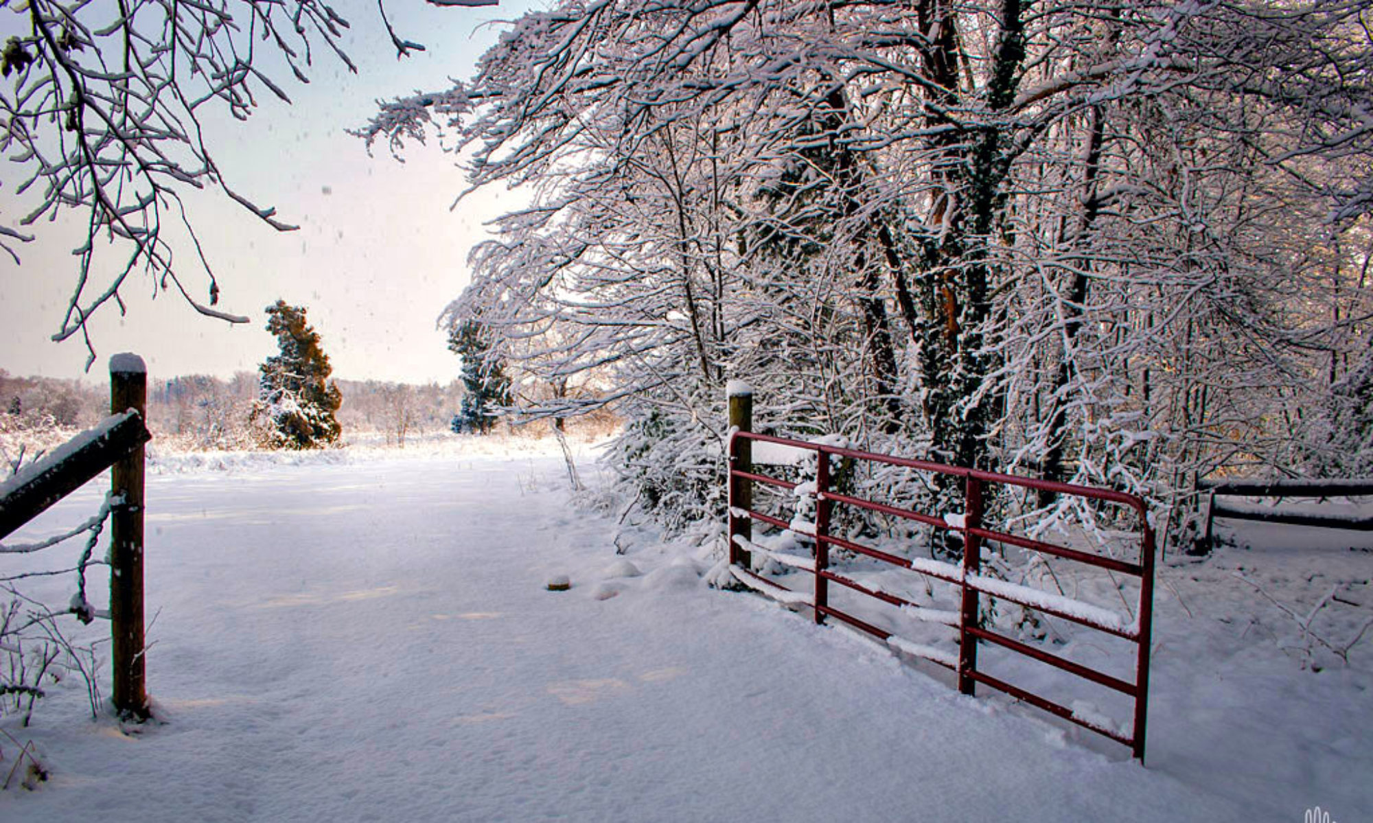
Beaver Creek Lake is a small reservoir west of Charlottesville, nipping the ankles of Shenandoah National Park. It’s the sort of place you can only sail in small boats like these.
Challenging and technical sailing. On a gusty day like this, the wind bounces off steep hills and tall trees to slap you one way, then swings around 180 degrees to give you a swat on the other side like a cat toying with an injured bird. Fun if you like an adrenaline rush!
But the views are amazing. From much of the lake you have the Blue Ridge as a backdrop.
Another weeks long sailing trip with Doug Oeller. This time from Oriental, NC, to Deltaville, VA.
Sailed up Currituck Sound yesterday, anchored overnight, and came through the Albemarle & Chesapeake Canal today. Waiting to go through the drawbridge and lock at Great Bridge now.
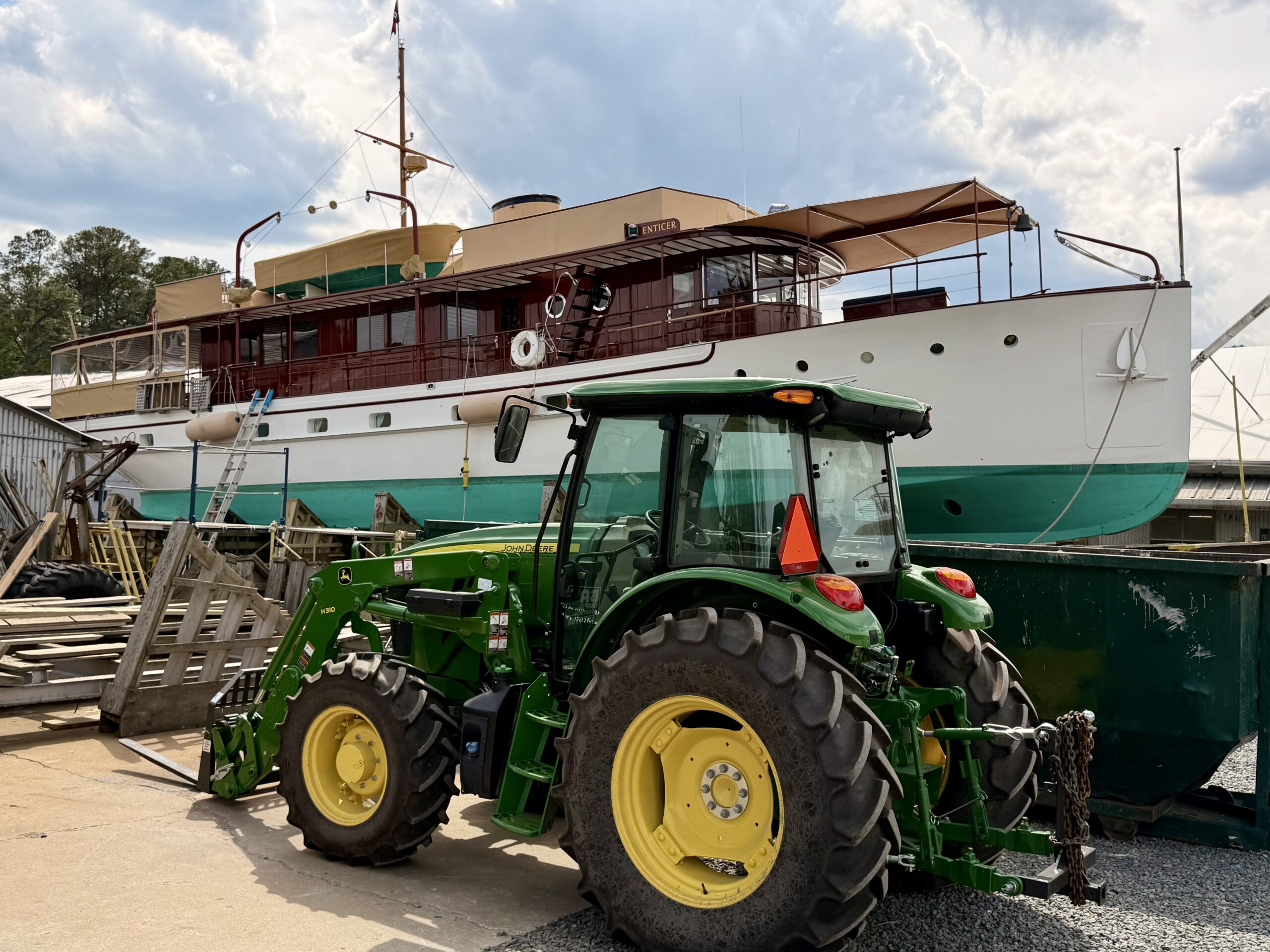
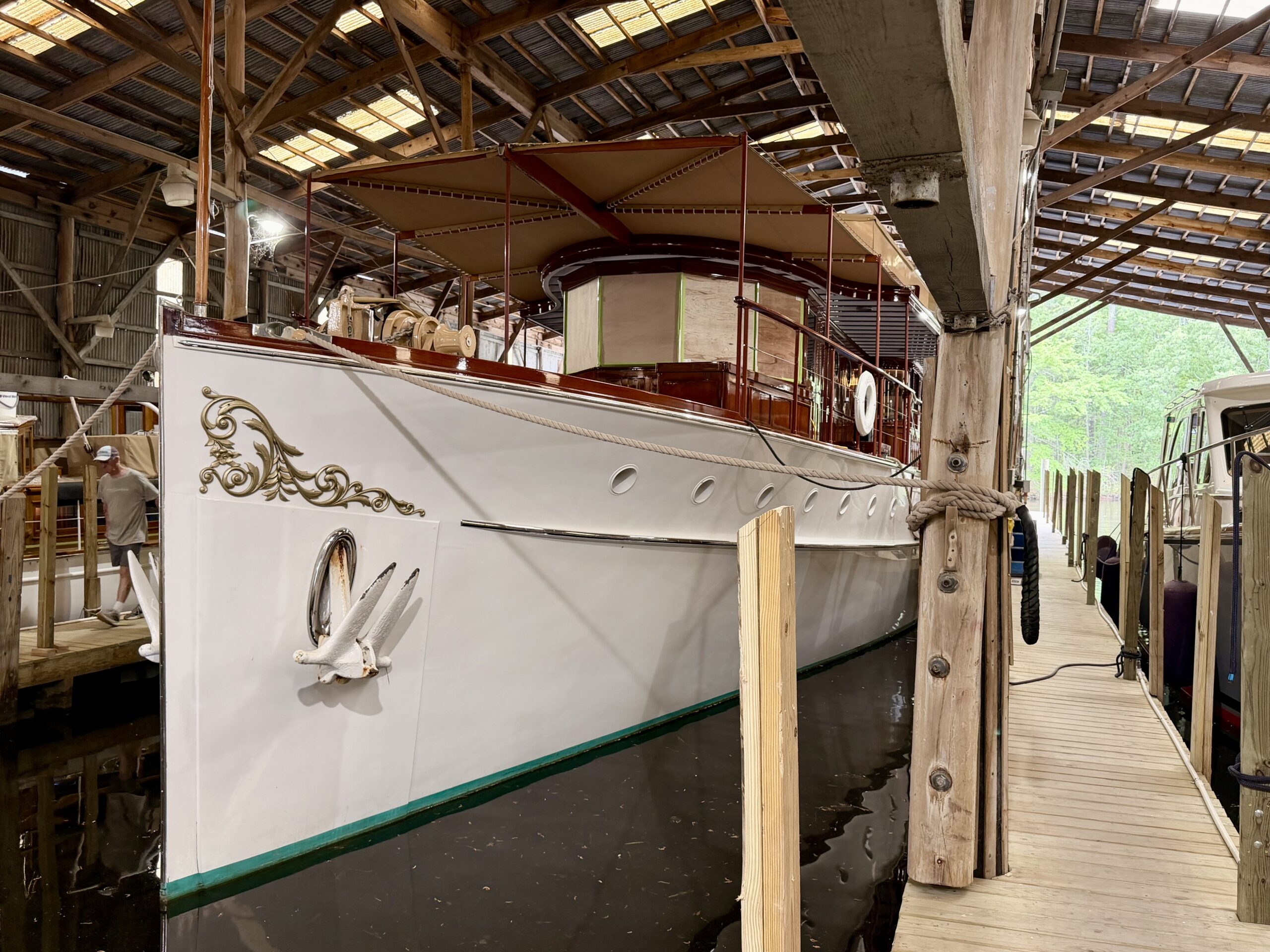
We stopped at Atlantic Yacht Basin boatyard for ice. While Doug found someone to pay, I wandered around with the camera. The super nice general manager Brenda gave me a tour in her golf cart and invited us to explore the whole place. Just amazing, floating museum pieces cared for by skilled craftsmen.
Will post lots more eye candy when we get back. And lots more on the adventures of another great trip.
Paste my profile into the search field of your favorite open social app or platform.
Your Profile
Or, if you know your own profile, we can start things that way! Why do I need to enter my profile?
This site is part of the ⁂ open social web, a network of interconnected social platforms (like Mastodon, Pixelfed, Friendica, and others). Unlike centralized social media, your account lives on a platform of your choice, and you can interact with people across different platforms.
By entering your profile, we can send you to your account where you can complete this action.
Most people think the captain is always in charge. But there is a brief window every day, ordained by a certain alignment of celestial bodies, when a lowly deckhand is lifted to the pinnacle of importance and completely supersedes the captain’s authority.
This occurs when the sun is in ascension, perpendicular to the zenith, in contact with the horizon. At this precise moment a portal opens. Like a Druid at the solstice in Stonehenge, Buddha beneath the Bodhi Tree, Newton struck by the apple, a muezzin singing the sun to prayer from the top of a minaret, the lowly peon is transformed, becomes a priest in service of a god. He becomes “The Barista”.
Voices are hushed, movements slow and subdued, until the sacrament is complete. The magical elixir is handed up to each member of the crew for their ablutions. At which point normal order resumes, and he who moments ago held the very mysteries of the universe in his hands, is once again a shambling swabbie, sent forward to haul up the anchor from the mud.
Such is the importance of hot coffee on a cold and misty November morning.
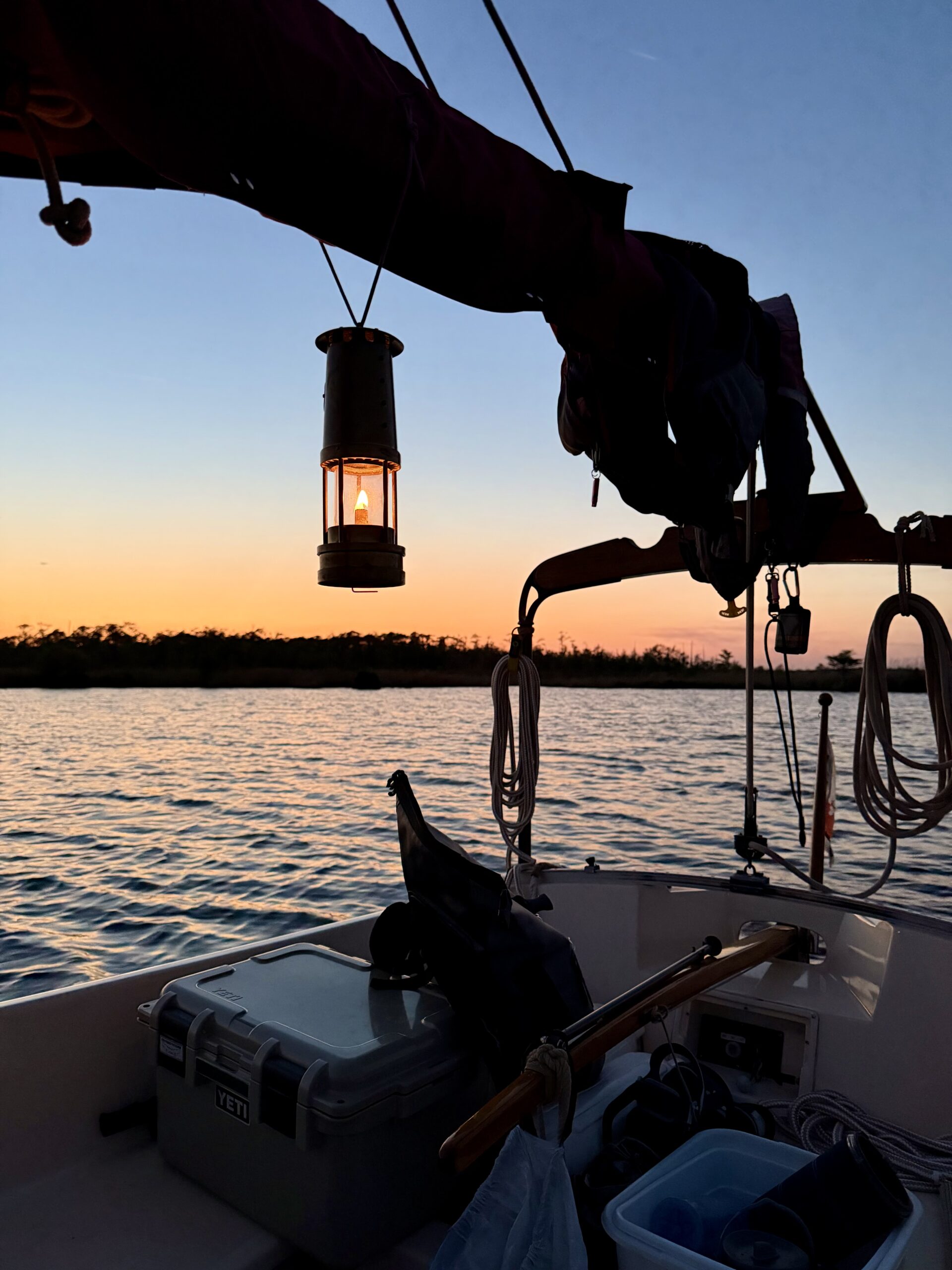
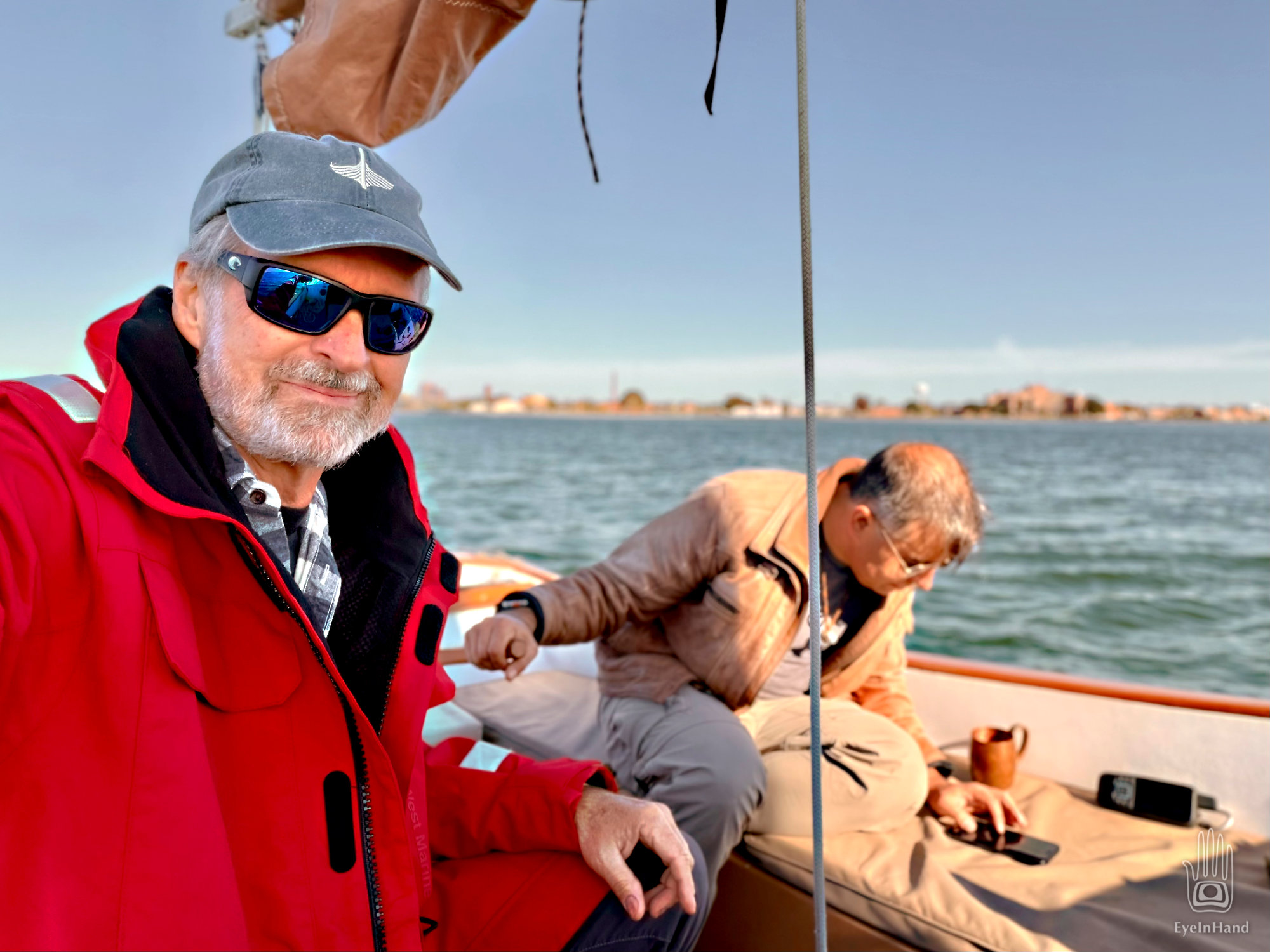
Mug of joe in hand, we motor out into sunrise on a mirror of polished brass. Dazzled by the light, we drift out of the winding channel until the keel brushes bottom and we ease her back.
We round Stingray Point and head north across the mouth of the Rappahannock River toward Windmill Point. Birds perch on the poles of fish traps like crucifixes. The sun boils the mist and lifts it overhead, a breeze riffles the water now and then.
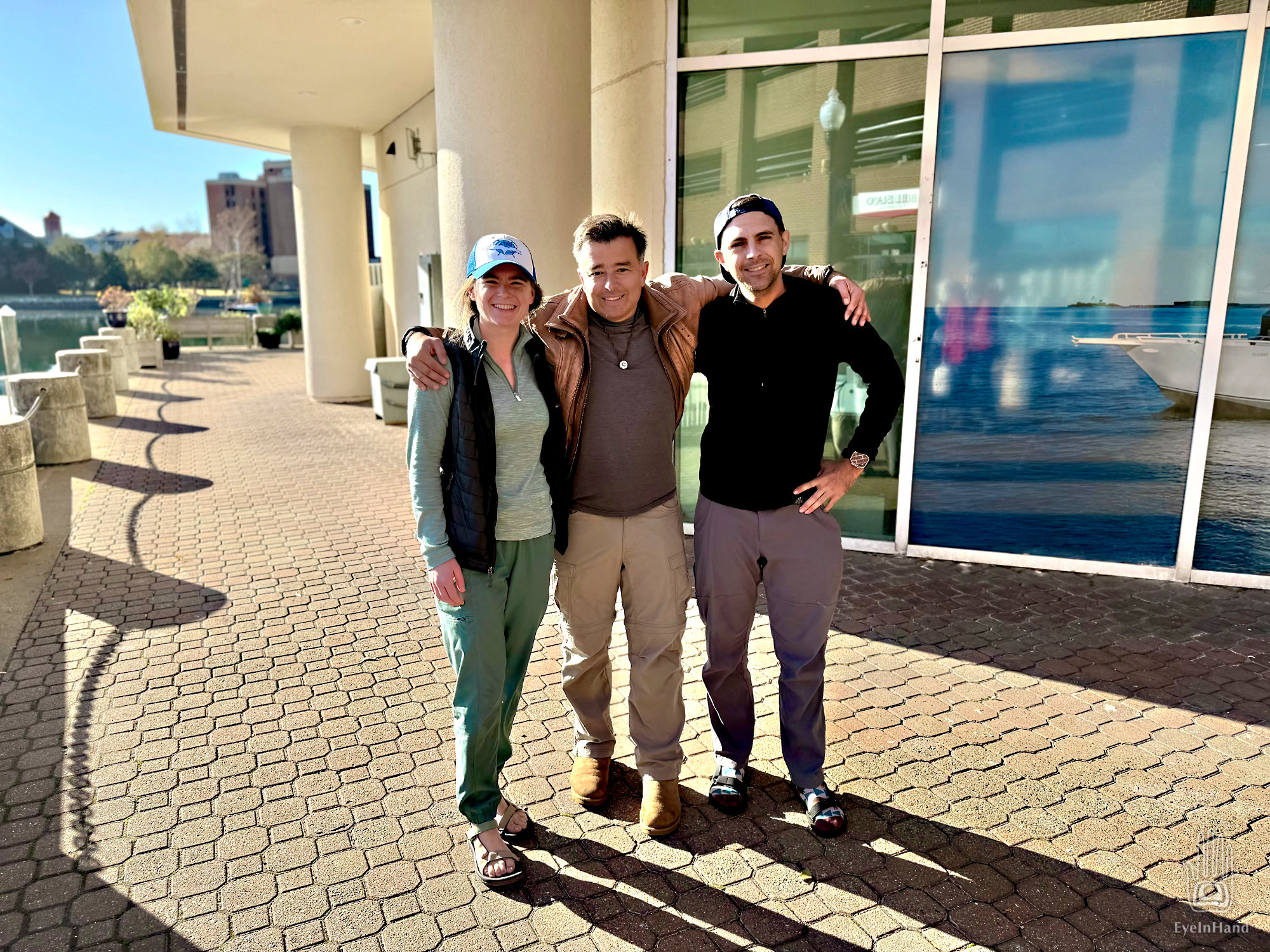
Back in mid-November, I was having coffee in pajamas when I got a message from a fellow sailor and boat builder, Jim. Would I be interested in dropping whatever I was doing to go sailing for a couple of days? Short notice, long story? Apparently, Jim knows me well. I have learned the hard way, however, to ask for a few details before jumping on YES with both feet.
His son Jonathan bought an old Stone Horse down in North Carolina. He is bringing it home to Maryland, and is suddenly short on crew. I know Jonathan from the Mid-Atlantic Small Craft Festival. He has a good Youtube channel and an active Instagram account. I’m familiar with the venerable Stone Horse. My friend Michael Bogoger, aka Doryman, had one that his sister Elaine now owns, and both love it. A nice gallery of photos from Michael are here:
Seems unlikely, but I mention it to Terri, how it would be fun but not sure how to work it out. Just so happens, says T, she will be in DC in a couple of days and can pick me up at journey’s end. Would be willing to drive me down, too. Enough details fall into place that thirty-six hours later I am in Hampton Roads, walking the docks with my duffle, looking for a ship.
Loon at anchor in Hampton River
T graciously got up before daylight to drive me the three hours to the coast. Just after sunrise we find Jonathan and his departing crew unloading gear on the docks from a dinghy, with the Stone Horse Loon anchored out in the Hampton River. They look weary, but happy.
Turns out, they had been up even before we were that day. The original plan was to crew with Jonathan the whole way. They left their car in Maryland for the drive back to NC. Weather and mechanical issues delayed things, enough they now had to jump ship here, midway, to get back to NC for other commitments. But their car was still in Maryland, 175 miles away. The past 24 hours were spent renting a car, then driving to Maryland and back to shuttle their own car to Hampton, into which they were now transferring all their gear for the drive to NC and a formal ball that night.
Seems like the land-based part of any boat trip is always the most complicated.
T waved before heading off for breakfast as Jonathan and I rowed out to Loon. We raised anchor and motored out into Hampton Roads, and Jonathan caught me up on the current plan.
The Stone Horse is a solid seagoing cutter rigged sloop, set up well for single-handing. But being new to the boat and her foibles, he knew it was unwise to try and finish the trip alone. Too many things can go wrong. Already the main halyard jammed leaving NC, then the prop on the outboard had to be replaced. Then there’s the weather. Hence the delays so far. Without an extra set of hands to manage the boat while you deal with them, small problems quickly become big problems.
There’s a big weather front coming, too, so we have to go 100 miles in two days and reach port before the bad weather reaches us. Assuming nothing else goes wrong, we’ll have good weather until then, but we have two long days ahead.
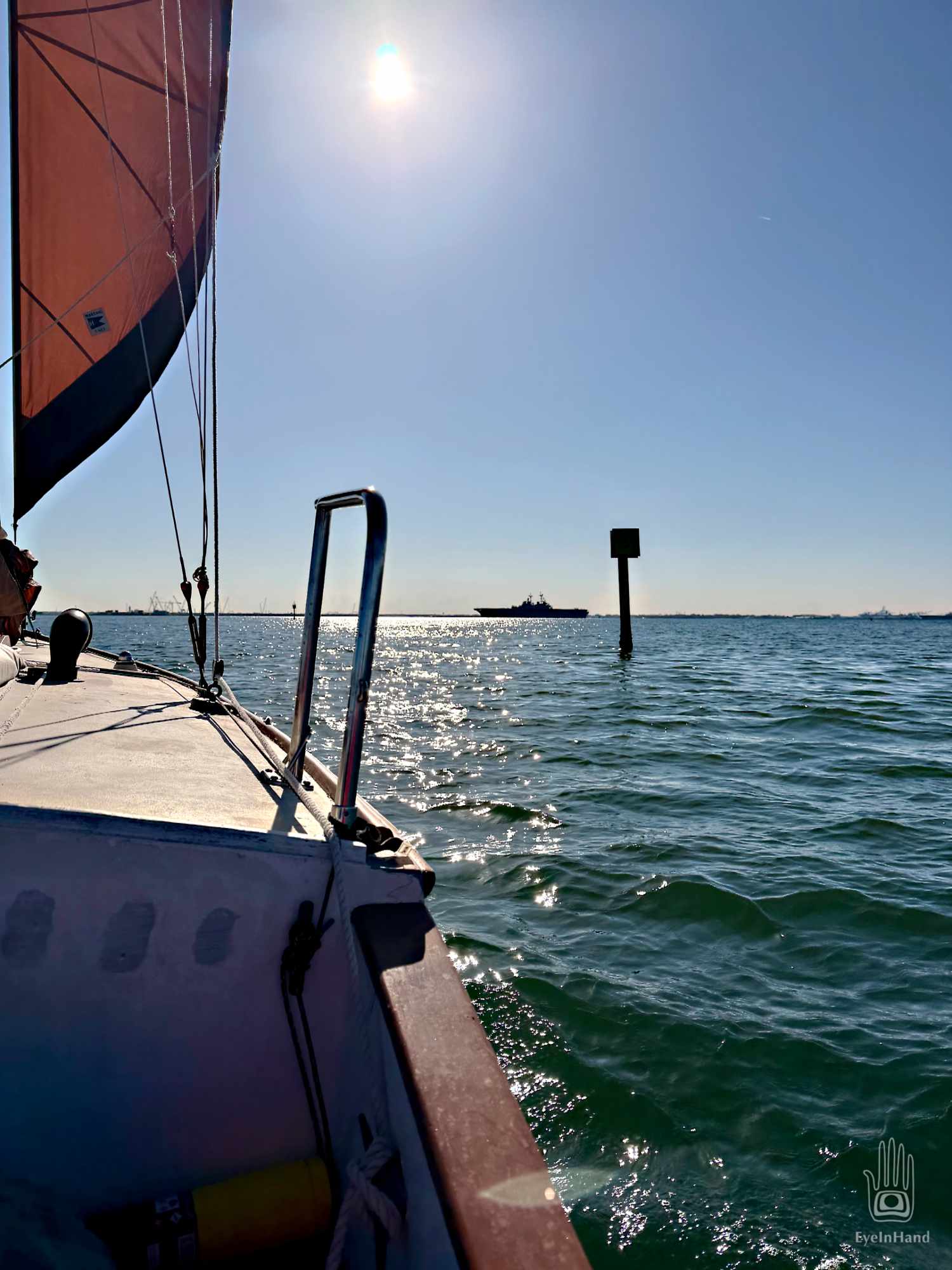
We exit Hampton Roads with the USS Kearsarge as it leaves the Norfolk base for Denmark. An ambitious assault ship, it looks huge; but an aircraft carrier is half again bigger. We raise sail in the Chesapeake Bay as the Kearsarge transits the Bridge Tunnel and disappears over the horizon.
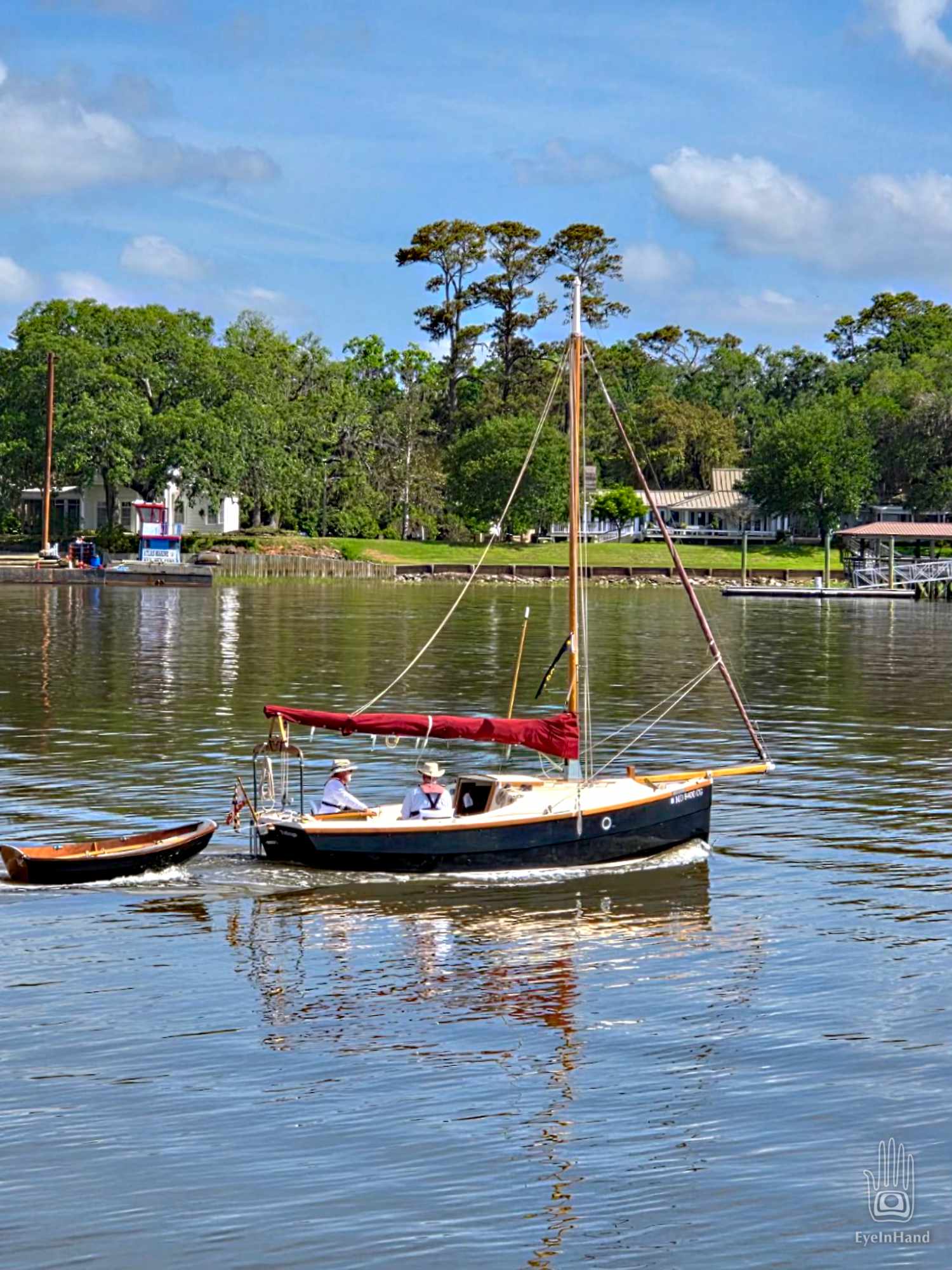
In the morning we have a flood tide to float us out of the Magic Kingdom. It’s even high enough to squirt us through a local shortcut and shave 10 miles off our last leg, saving roughly two hours. By late afternoon we will be docked in downtown Beaufort, SC, where Doug’s circumnavigation will pause until the summer hurricane season is over.
Up Calibogue Sound we go and out Skull Creek past Webb’s pier and condo, then out into Port Royal Sound. The tide has turned and carried us past Hilton Head, but that means it’s now rushing out of creeks, marshes, into two big rivers and out of Port Royal, headlong into a fresh breeze coming in off the Atlantic. Port Royal Inlet has a reputation for much unpleasantness with unwary boaters. In truth, we find the roughest passage of the past three weeks right here, coming down the home stretch.
We swing across the mouth with the ocean over our shoulder and make the turn to head up the Beaufort River. At the turn, I can just make out Fripp Island to the north where my parents still live, where I spent many summer days since elementary school.
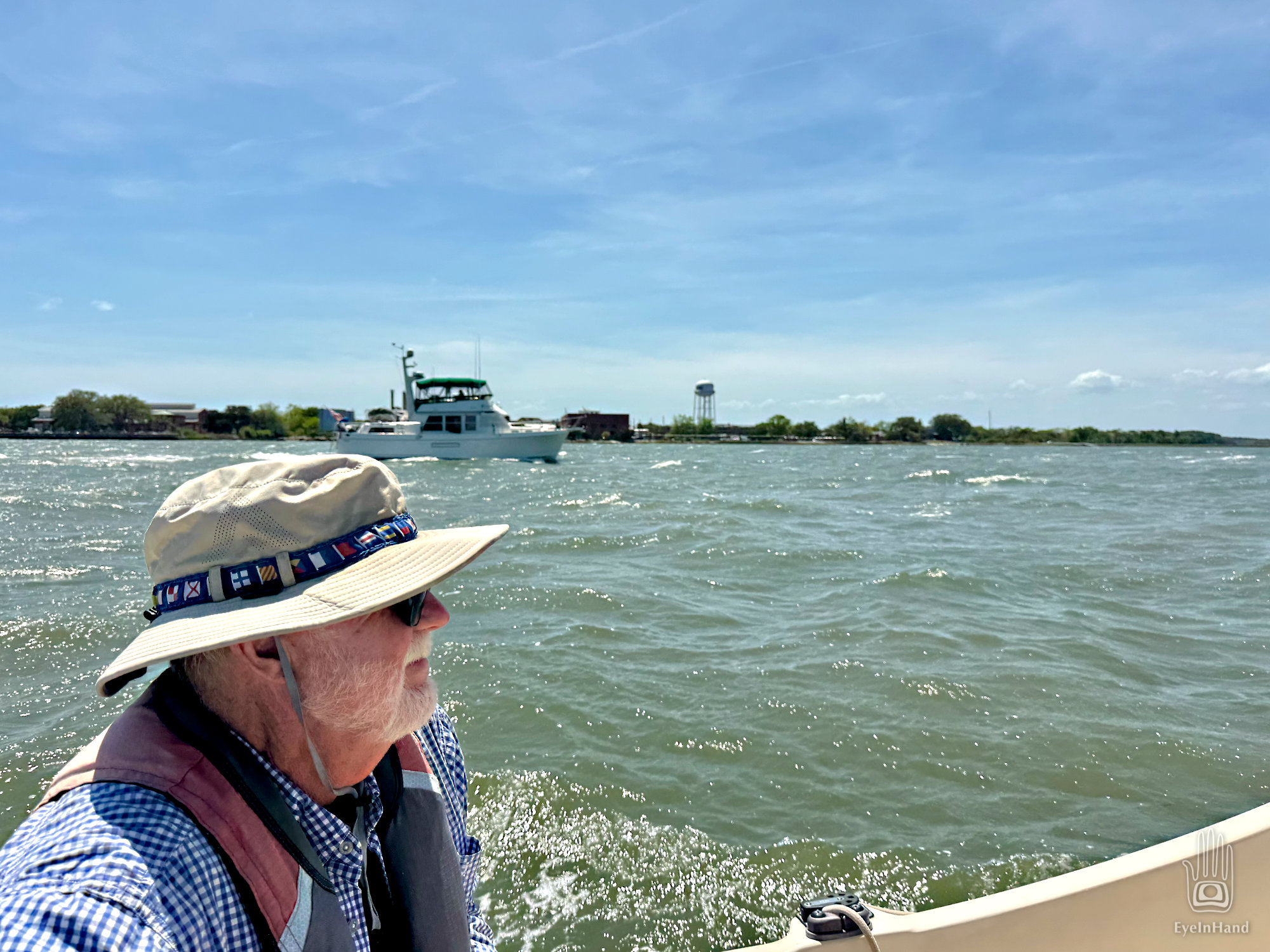
At least we aren’t beating INTO the wind. With the main furled, the jib flying, and help from the motor against the current, if feels like we’re galloping along with a herd of horses. White caps are everywhere, waves rolling, but they’re going the same direction we are. A trawler we’ve seen before runs alongside us, snaps a photo and sends it to Doug, with another taken when they passed us back in Georgia.
We pass Parris Island, then the funky old seaport village of Port Royal, turn under the “new bridge”, and just like that we’re docked in Beaufort on the waterfront.