
mail boat and ferry to Tangier Island
I wouldn’t say I planned a visit to Crisfield, but it has been in the back of my mind for a while. At 7pm on Wednesday I’m crunching out the gravel driveway with Aeon in tow, golden evening light shining on the new varnish. An odd time to leave for sailing trip, yes. Usually this is the time for coming home.
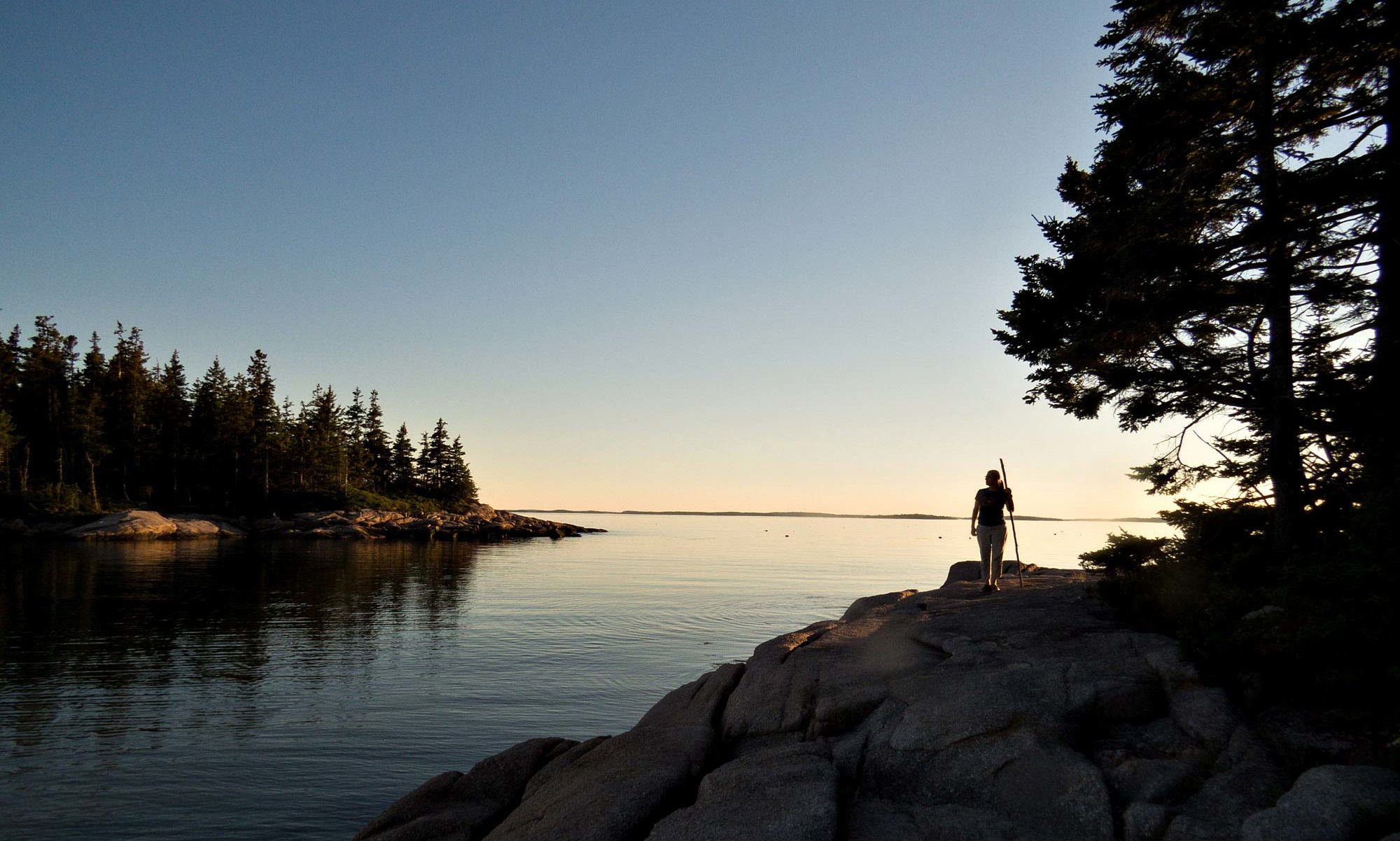
I’m heading to the Eastern Shore for the Chesapeake Float, to a place just north of the Virginia-Maryland state line. A long drive from here. It’s a long drive from anywhere, about the farthest you can get from any bridge or ferry that crosses the Bay. It means driving hours north to DC or hours south to Norfolk, just to get to a bridge; then driving hours more to get back to the middle of the Peninsula. Twice the distance, at least, of going straight across if you could. This is what makes that part of the Bay still so appealing. Not many people take the trouble to get there.
 view up Main Street from the waterfront
After packing and puttering all afternoon, trying to remember what was forgotten since last year, it’s either leave now or go to bed. Better to get the drive out of the way tonight, better than leave in the middle of the night to start the day exhausted from hours of driving and too little sleep. No idea what I’ll do when I get there later tonight. At least leaving at night will avoid the traffic.

Steve tried to give me some tips on getting through Tidewater and the bridge tunnels. I basically loath urban driving, and choke points like bridges and tunnels are the worst. A history of bad experiences. You’d think, or at least I did, that passing through while everyone else is home having dinner and watching TV would be, you know, better.
But no. Construction crews are working on both tunnels – Hampton Roads and Chesapeake Bay. They only do that work at night. By 11pm I’m still 10 miles from either shore on the Bridge Tunnel in the middle of the Bay. There’s nothing to do but call Terri and chat, listen to seagulls I can’t see in the dark. Thanks, Steve, but my luck still holds.
Once I get to God’s Country everything improves considerably. It’s dark, and more empty than not. Everything not farm or fishing related clusters near the one road that runs up the spine of the peninsula, alongside a lumpy rail line. I worked out here some 20 years ago. Fortunately, not much has changed since then, and what did is for the better. More businesses open, buildings better cared for. There’s some money here now.
I pass hotels that look open and wonder if I’ll regret passing them all later. I only hope there’ll be a place to stay, and it’s open, when I get to Crisfield. Otherwise, I’ll be sleeping in the car in a parking lot, or maybe in the state park.

I used to hear about Crisfield a lot when I was a kid. The way watermen on the mainland talked about it had sort of mythic overtones. Crisfield was to fishermen what Atlantic City was to gamblers. It was once the second largest city in Maryland – second only to Baltimore – and was populated entirely by people in the seafood industry, and everything needed to support them.
My grandfather went there once, and came back with tales of amazement and wonder. In the early days, so many oysters and crabs came out of Crisfield they had to build a railroad into town just to haul it all out, several trains a day left fully loaded. Much of the waterfront is built on piles of old oyster shells. There was nowhere else to put them all, so they made more land with it.

There isn’t much happening in Crisfield when I roll in at 1am in 2014, though. Doesn’t look like there’s much happening at any hour now – buildings boarded up, weeds growing tall. I do find one hotel in town. The Captain Tyler. The parking lot is full, which is always a good sign; but that means I have to park in a neighbor’s yard. Lights are on in the office, no one inside. A hand written sign taped to the door says
Knock on Door #1 for a Room or Service
Tapping lightly brings no response. It’s late. Clearly I’m going to have to wake someone up, and this seems like very bad manners. But it’s 40 minutes back to the last hotel I saw on the highway.
I tap some more. The door is opened by a woman who immediately reminds me of my grandmother. Same age, same era, same smell of soaps and powders. She is cheerful and polite. I’ve gotten her out of bed, selfishly arriving at this hour for my convenience, and I feel terrible. In the office she finds a room and records it in a hand-written ledger. The doors aren’t locked, she says, keys are in the rooms. It’s only $60. I get the very clear sense as we chat that she is glad to see me. Glad to have the $60.
She asks why I’m here, and offers ice for the coolers – boaters of the sort she’s used to dealing with always need ice. Says if I move the car and boat by 7am I should be able to leave it parked in the neighbors yard, despite numerous signs there insisting the contrary.
It’s past 2am by the time I get settled and turn out the lights.


When I get up to move the car at 6am, she’s already up and in the office, serving early risers. She wishes me well on my “kayak trip” (ok, it’s a smallish boat, and is actually under a cover) and makes sure I remember to get ice, from a very nice newish ice machine, which must have cost a bundle.

Daylight reveals why she was so happy to wake up for three Jacksons. This town is dying. It’s not clear there’s even a place to get breakfast. What doesn’t have plywood windows is a soft-shell crab operation, and many of those look long out of use.
The exception is a couple of enormous condo complexes that seem to have fallen out of the sky from another planet, they look so out of place. They barricade the town from the water, and look mostly empty.
There’s a restaurant where a bunch of blue-haireds are converging, but the cook outside having a smoke says they aren’t open. Points me down the road to the dock. He does ask about the boat under the cover, though. Even covered and across the street he can tell it’s a classic boat design. These are still water people here
. 
Down by the waterfront is a cafe. The owner is doing computer tech support on the phone in the corner. He’s got an older Windows laptop, a printer, a cellphone, and a pot of coffee covering a table in back. Otherwise, I’m the only other person not a cook or a waitress in the place. And no one else comes in while I’m there.

From the window table I watch the mail boat from Tangier Island (ed.) arrive and tie up at the rebuilt town dock. There’s a golf cart on deck. Tourists disembark. They each drag a single small overnight bag on wheels.
Apparently, no one plans to stay more than one night on Tangier and Smith Islands. Both islands are rather tentative, given rising sea levels. Wouldn’t be prudent to book much more, I guess. Even a single night poses a certain level of risk. With the tourists gone, a grocer rolls boxes of provisions for the island up the gangway. All the comings and goings happen over coffee and a crab omelet.
Actually, it’s all over before the first cup of coffee is cold. They’re pretty self-sufficient on the Chesapeake islands, don’t need much.

On the way out I drive through the rest of the town. There are vestiges of what it used to be. Lots of churches, one on every block. They’re big and elaborate, a sign they were once well funded. Their flocks have long departed, but like headstones in a cemetery, and bank buildings, they outlast everything else. Main Street is mostly boarded up. Houses stand empty.

Kevin later reminds me that three hurricanes – Isabel, Irene and Sandy – each swept through the town within a single decade. Like a boxer hitting the matt, Crisfield never had a chance to recover from one knockdown punch before the next one landed.
Government grants have trickled in with small transfusions of cash. There’s a new town dock, and one house of the hundred damaged and abandoned has been rebuilt. But the whole town, and fifty square miles surrounding it, is only a few feet above mean high tide. Storm surges were 4 feet above that. Over half the county is now in the flood plain. Native oysters, decimated by disease, have all but disappeared. Crabs come and go in cycles. Foreign markets invade. Not many people make a living in Crisfield on seafood anymore.
It’s time to head for Deal, by way of Chance.

Editor’s Note:
Apparently, some folks have taken offense at this post. I can assure you, none is intended.
Like many waterfront communities, Crisfield is struggling with forces beyond it’s control. I happen to come from an even smaller town hit by floods at least 20 times in the last 100 years – by hurricanes Agnes and Camille up to the second story windows. It has taken us decades to recover from those, and only now are we getting back on our feet. Many businesses still struggle just to survive.
Scottsville Floods
Main Street Marker
Town Park Obelisk
We wear those scars with pride. Markers of all the flood levels are hand painted on the sides of buildings on main street, and carefully maintained. We even paid to install an obelisk in the town park where the water levels are engraved in stone, so visitors can come and marvel at them. And they do. It’s how we say we’re still here, and proud of it.
No doubt the folks of Crisfield will be, too.
Like this:
Like Loading...

 Deal Island Skipjack in Wenona Harbor


